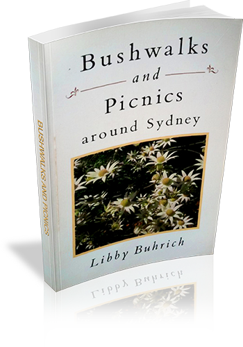
Bushwalks and Picnics around Sydney
Title: Bushwalks and Picnics around Sydney
Author: Libby Buhrich
Edition: 1
Publisher: Sally Milner Publishing
ISBN: 1863510133
Number of pages: 178
Year of Publication: 1991
Cover Price (au$): 16.95
Format: Paperback
Website: http://www.sallymilner.com.au/index.html
Weight (grams): 220
Regions the book covers: Sydney, Blue Mountains, Bouddi
Height (cm): 20
Subjects:
Nature trails - New South Wales - Sydney Region - Guidebooks,Picnic grounds - New South Wales - Sydney Region - Guidebooks,Sydney Region (N.S.W.) - Guidebooks
Overview of Book:
This guidebook offers information on walks spread over the Sydney basin. There is a focus on plants and wildlife, including when and where you're are most likely to see different species. The final chapter suggests a number of recipes designed for picnics.
Interpretive Information: Plenty
Grade system explained: No
Ascent and/or Decent provided: No
Driving directions provided: Yes
Date walks last reviewed provided: No
A summary of walks provided: Yes
Regional Map of walks provided: No
Maps designed for walking: Yes - limited detail
Type of maps used (for walking): Sketch
Colour used in walking maps: Black and White
Size of walking maps: Full page
Colour depth of photos: Black and White
Comment on Photographs: There are a few photo plates in the centre of the book.
Level of detail in tracknotes: Detailed route information
List of walks in book
| Walk Name | Length | Time | Grade | Page |
|---|---|---|---|---|
| The America Track | 2 km | 1 Hr | Easy | 7 |
| The Challenger Track | 4 km | 1 hr 30 mins | Easy, even | 11 |
| The Basin to Bonnie Doon via The Basin and Bairne Tracks | 9 km | 3 hrs | Easy | 14 |
| Gayimai Nature Trail | 1 km | 30 mins | Easy | 21 |
| The Garigal Aboriginal Heritage Walk | 4 km | 3 hrs | Medium to difficult (with steep section) | 23 |
| White Horse Beach - Flint and Steel Bay | 1.6 km | 1 hr 30 mins | Medium with steep sections | 32 |
| Koolewong Track | 1 km | 30 mins | Easy. Undulating landscape. | 36 |
| The Sphinx Track and Bobbin Head Track | 6.5 km | 2 hrs | Medium with steep section | 39 |
| The Sphinx Track and Bobbin Head Track | 10 km | 4 hrs | Medium with steep section | 39 |
| Bundeena Road to Little Marley Beach | 9 km | 3 hrs | Easy | 47 |
| The Lady Carrington Walk | 9.6 km | 3 hrs | Easy | 53 |
| Bangally Head - Careel Headland Avalon | 1.5 km | 45 mins | Easy to medium | 63 |
| Barrenjoey Lighthouse - Barrenjoey Head - Palm Beach | 2.5 km | 1 hr 30 mins | Medium | 69 |
| Clifton Gardens to Taronga Zoo Wharf via Ashton Park | 4 km | 2 hrs | Easy | 77 |
| The Spit Bridge to Manly | 10 km | 4 hrs | Easy | 85 |
| Princes Rock - National Pass, Wentworth Pass, Valley of the Waters | 6 km | 5 hrs 30 mins | Difficult. Steep section. | 97 |
| The Charles Darwin Walk | 2 km | 1 Hr | Easy | 107 |
| Denfenella - Weeping Rock Loop Walk | 4 km | 3 hrs | Medium / steps | 110 |
| Grand Canyon - Neates Glen | 5 km | 4 hrs | Difficult. Steep sections. | 117 |
| The Gerrin Track to Maitland Bay | 3 km | 1 hr 30 mins | Easy | 127 |
