Twofold Bay Lookout via Boyd Tower

20 mins
764 m Return

25 m
Very easy
(0km) Ben Boyd car park → Boyd Tower Intersection

280 m
5 mins
0m
-15m
Very easy
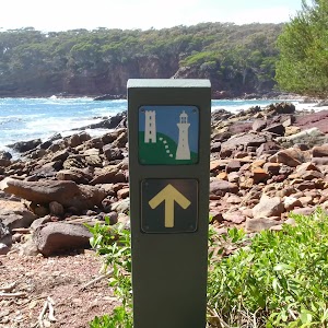
From the car park, this walk follows ‘Boyd Tower 300m’ arrow[1] along the asphalt footpath, between the timber bollards[2] to pass the information sign[3][4] (and parking pay station, on the left). The path leads gently downhill for 45m to pass a ‘Welcome to Ben Boyd NP and Boyd’s Tower’ information sign[5] then the path meanders for 150m through the melaleuca forest to find a seat and the ‘Gambling on the Future’[6] & ‘Boyd’s Folly?’[7] information signs. Just 35m further along the path you pass another seat with pleasant coastline view[8]. From here the path starts to lead gently uphill for 50m to come to a clear 3-way intersection[9] (with a timber path and Boyd Tower on the left).
(0.28km) Int. Boyds Tower and Lookout Trks → Red Point Lookout

40 m
1 mins
1m
-5m
Moderate track
Continue straight: From the intersection, this walk follows the asphalt footpath towards the sea, keeping the tower a short distance to the left. The path leads over a small rise then in about 20m leads down a very steep and narrow set of steps[10] to the fenced Red Point Lookout[11][12] and ‘Stony History’ information sign[13]. At the end of this side trip, retrace your steps back to the main walk then Turn right.
Red Point Lookout
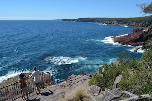
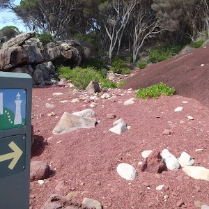
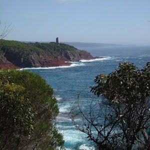
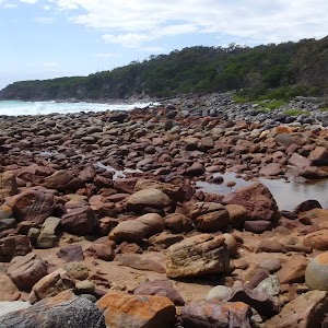
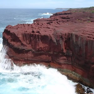
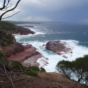
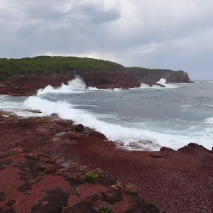
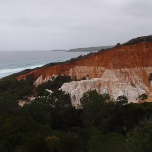
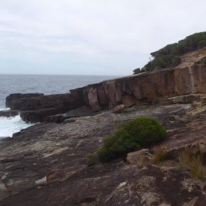
Red Point Lookout is in Ben Boyd National park and is accessed by a clear but very steep set of steps from Boyd Tower. The lookout is fenced[14] and has a sign explaining a bit about the local geology[15]. The lookout provides a great view south, down the coast of the park[16]. A great example of folded rocks[17] is clearly visible where the sandstone and metamorphosed red siltstone were compressed and bent to form distinct arches.
Boyds Tower
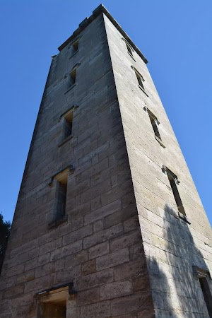
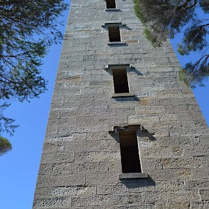
Boyds Tower[20] was commissioned by Benjamin Boyd and originally designed to be a lighthouse. After the Government rejected the proposal of the private lighthouse, Boyd changed tact and built the Sydney sandstone tower for whale spotting. The tower gave his whaling ships a strong advantage over other whalers in the area.
Built in 1847, Boyds Tower is a large sandstone tower on the southern head of Twofold Bay in Ben Boyd National Park. The top of the tower bears the BOYD title, and boast several viewing points. The ground floor of the tower is open to the public and is well worth exploring.
Boyd was declared bankrupt soon after completing the tower and left Australia for the Californian goldfields. Boyd died in the Solomon Islands in 1851 whilst hunting game.
“Ben Boyd’s Tower is watching –
Watching o’er the sea
Ben Boyd’s Tower is waiting
For her and me.” Henry Lawson (1910)
The bottom floor of the tower is open to the public via a 1.2m wide sandstone door frame[23].
(0.29km) Boyds Tower → Twofold Bay lookout

90 m
2 mins
0m
-10m
Very easy
Continue straight: From the entrance of Boyd Tower[24] this walk follows the timber boardwalk around to the back of the tower (keeping the tower to the left). The walk continues along the boardwalk gently downhill for about 25m to pass a ‘Waiting for whales’ information sign[25]. The walk continues along the boardwalk away from the tower for another 30m to pass the ‘Whaling Frenzy’ information sign[26], then just another 25m to a seat[27] then the fenced Twofold Bay lookout platform[28].
Twofold Bay Lookout
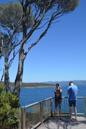
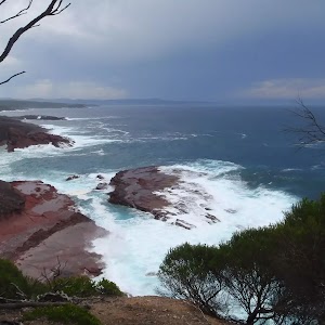
Twofold Bay Lookout[29] (not officially named) is in Ben Boyd National Park, on the southern headland of Twofolds Bay. The lookout is accessed via a boardwalk from Boyds Tower. The lookout platform has a 1m high metal fenced and is wheelchair-accessible. There is a bench seat near the lookout to rest and enjoy the view. The view looks north-west[30] across the bay to Eden, Boyd Town and Edrom to the left, and out over the South Pacific Ocean on the right[31].
Maps for the Twofold Bay Lookout via Boyd Tower walk
You can download the PDF for this walk to print a map.These maps below cover the walk and the wider area around the walk, they are worth carrying for safety reasons.
| Eden | 1:25 000 Map Series | 88231N EDEN | NSW-88231N |
| Eden | 1:100 000 Map Series | 8823 EDEN | 8823 |
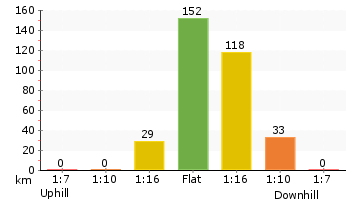
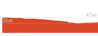
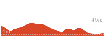
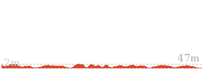
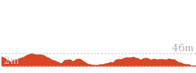
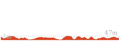
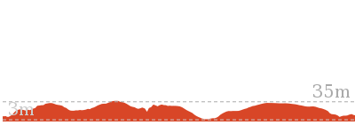
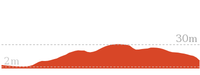
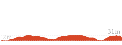
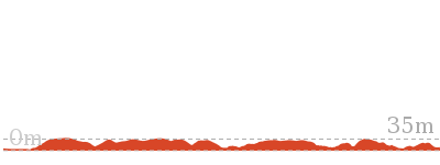
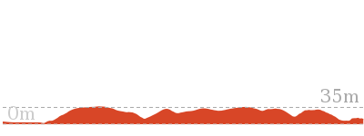
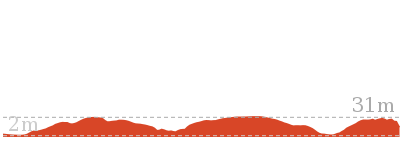
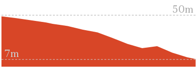
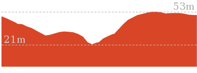
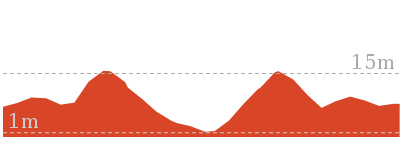
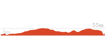
Cross sectional view of the Twofold Bay Lookout via Boyd Tower bushwalking track

Analysis and summary of the altitude variation on the Twofold Bay Lookout via Boyd Tower
Accessibility summary information for the Twofold Bay Lookout via Boyd Tower
Parking: There are 0 designated accessible parking areas on this walk.
Toilets: There are 0 designated accessible toilets on this walk.
Seats: There are 3 places to sit on this walk. They are on average 190m apart, with a maximum gap of 190m.
Hazards: There are 1 specific noteable accessability related hazards on this walk.
Trip Hazard Culvert under path with exposed drainage ditch on the very edge of path. A drop of about 25cm. Marked with timber bollards, there are a series of 4 more similar drainage ditches about every 40m. Found about 90m into the walk.
Accessibility Details
Overview of this walks grade – based on the AS 2156.1 – 2001
Under this standard, a walk is graded based on the most difficult section of the walk.
| Length | 764 m | ||
| Time | 20 mins | ||
| . | |||
| Grade 1/6 Very easy |
AS 2156.1 | Gradient | Flat, no steps (1/6) |
| Quality of track | Smooth and hardened path (1/6) | ||
| Signs | Clearly signposted (1/6) | ||
| Experience Required | No experience required (1/6) | ||
| Weather | Weather generally has little impact on safety (1/6) | ||
| Infrastructure | Generally useful facilities (such as fenced cliffs and seats) (1/6) |
Some more details of this walks Grading
Here is a bit more details explaining grading looking at sections of the walk
Gradient
This whole walk, 380m is flat with no steps.
Quality of track
This whole walk, 380m follows a smooth and hardened path.
Signs
This whole walk, 380m is clearly signposted.
Experience Required
This whole walk, 380m requires no previous bushwalking experience.
weather
This whole walk, 380m is not usually affected by severe weather events (that would unexpectedly impact safety and navigation).
Infrastructure
This whole walk, 380m is close to useful facilities (such as fenced cliffs and seats).
Similar walks
Other Nearby walks
Plan your trip to and from the walk here
The Twofold Bay Lookout via Boyd Tower walk starts and ends at the Ben Boyd car park (gps: -37.104516, 149.95119)Your main transport option to Ben Boyd car park is by;
(get details)
Fire Danger
Each park may have its own fire ban, this rating is only valid for today and is based on information from the RFS Please check the RFS Website for more information.Weather Forest
This walk starts in the South Coast weather district always check the formal BOM forecast or pdf before starting your walk.Forecast snapshot
Park Information & Alerts
Short URL = http://wild.tl/tblvbt
Gallery images
There are other downloads I am still working on.
You will probably need to login to access these — still all free.
* KML (google earth file)
* GPX (GPS file)
Special Maps/ brochures
* A3 topo maps
* PDF with Lands Topo map base
* PDF with arial image (and map overlay)
I wanted to get the main site live first, this extra stuff will come in time.
Happy walking
Matt 🙂








Comments