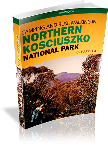
Camping and bushwalking in the northern Kosciuszko National Park
Title: Camping and bushwalking in the northern Kosciuszko National Park
Author: Harry Hill
Edition: 1
Publisher: Envirobook
ISBN: 0858812061
Number of pages: 138
Year of Publication: 2006
Cover Price (au$): 29.95
Format: Paperback
Website: http://envirobook.com.au/Publishing/publishing.htm
Weight (grams): 280
Regions the book covers: Northern Kosciuzko National Park
Height (cm): 21
Subjects:
National parks and reserves - New South Wales - Kosciuszko National Park,Hiking - New South Wales - Kosciuszko National Park,Camping - New South Wales - Kosciuszko National Park,Kosciuszko National Park (N.S.W.) - Guidebooks
Niche: Camping, driving and walking in Northern Kosciuzko National Park
Interpretive Information: Plenty
Grade system explained: No
Ascent and/or Decent provided: No
Driving directions provided: No
Date walks last reviewed provided: No
A summary of walks provided: No
Regional Map of walks provided: No
Maps designed for walking: Yes - limited detail
Type of maps used (for walking): Sketch
Colour used in walking maps: Black and White
Size of walking maps: 3/4 page
Walking map Comment: Unique map for every walk
Colour depth of photos: Colour
Comment on Photographs: Photographs on every second page, giving a good sense of the region,
Level of detail in tracknotes: Detailed route information
Alternate route and side trip suggestions: Some walks
List of walks in book
| Walk Name | Length | Time | Grade | Page |
|---|---|---|---|---|
| Thomas Boyd Trackhead to 'The Hole' | 15 km | 47 | ||
| The Coat of Arms Walk | 2 km | 51 | ||
| The Old Mountain Road | 4 km | 56 | ||
| Falls on Mill Creek | 3 km | 61 | ||
| Buddong Creek | 17 km | 64 | ||
| Buddong Falls (top falls) | 400 m | 30 mins | Easy | 69 |
| Buddong Falls (bottom falls) | 1.6 km | 1 hr 30 mins | Medium | 69 |
| Big Talbingo Mountain | 18 km | 74 | ||
| Jounama Peak | 7 km | 8 hrs | 79 | |
| Millers Hut | 3 km | 25 mins | 84 | |
| Cooinbil to Mosquito Creek Fire Trail | 10 km | 88 | ||
| Cooinbil to Hainsworth Hut | 14 km | 88 | ||
| Oldfields Hut | 6 km | 92 | ||
| Top end of Long Plain | 12 km | 96 | ||
| Cooleman Plain | 11.5 km | 101 | ||
| Cherry Garden | 12 km | 105 | ||
| Blue Creek Coppermine | 20 km | 111 | ||
| Pig Gully to Bullocks Head Creek | 12 km | 115 | ||
| Milk Shanty Falls | 16 km | 120 | ||
| Black Jack Firetower | 20 km | 124 | ||
| Round Mountain to Tumut River | 7.6 km | 129 | ||
| Lorna Doone Mine | 26 km | 134 |
