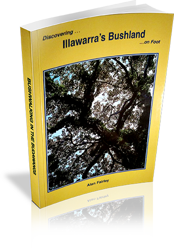
Discovering - Illawarra's bushland - on foot
Title: Discovering - Illawarra's bushland - on foot
Author: Alan Fairley
Edition: 1
Publisher: Envirobook
ISBN: 0858811650
Number of pages: 80
Year of Publication: 1999
Cover Price (au$): 13.95
Format: Paperback
Weight (grams): 85
Regions the book covers: The Illawarra
Height (cm): 18
Subjects:
Walking - New South Wales - Illawarra Region - Guidebooks,Illawarra (N.S.W.) - Guidebooks
Niche: Bushwalks in the Illawarra region
Interpretive Information: Plenty
Grade system explained: No
Ascent and/or Decent provided: Yes
Driving directions provided: No
Date walks last reviewed provided: No
A summary of walks provided: No
Regional Map of walks provided: Yes
Maps designed for walking: Yes - limited detail
Type of maps used (for walking): Sketch
Colour used in walking maps: Black and White
Size of walking maps: 3/4 page
Walking map Comment: Unique maps for many walks, others refer to the recent previous map
Colour depth of photos: Black and White
Comment on Photographs: Approximately one photograph every six pages
Level of detail in tracknotes: Detailed route information
Alternate route and side trip suggestions: None
List of walks in book
| Walk Name | Length | Time | Grade | Page |
|---|---|---|---|---|
| Stanwel Park - Kelly's Falls | 4.8 km | 1 hr 50 mins | 19 | |
| Wodi-Wodi Walking Track | 5.7 km | 2 hrs 30 mins | Medium | 24 |
| Wodi-Wodi Walking Track (and Stanwell tops) | 7 km | 3 hrs | Medium | 24 |
| The Forest Track | 12 km | 4 hrs | Easy to Medium | 27 |
| Wombarra - Thirroul : Coast Walk | 7.8 km | 2 hrs 30 mins | Medium .... | 31 |
| Austinmer - Bulli Lookout - Sublime Point | 7.8 km | 4 hrs | Moderately difficult ... | 34 |
| Woodward Track, Sublime Point | 800 m | 25 mins | Easy ... | 38 |
| Sublime Point Circuit | 1.8 km | 25 mins | Easy ... | 39 |
| Sublime Point - Bulli Lookout | 5 km | 1 hr 20 mins | Easy ... | 40 |
| Broker's Nose | 4.6 km | 1 hr 30 mins | Easy ... | 42 |
| Mt Keira Ring Track | 5.6 km | 3 hrs | Medium | 45 |
| Mt Keira : Ring Track and Summit | 6.3 km | 3 hrs 30 mins | Medium | 49 |
| Stafford's Farm Track | 3 km | 1 hr 15 mins | Easy | 51 |
| Mt Kembla Ring Track | 5.5 km | 2 hrs | Easy to Moderate | 53 |
| Mt Kembla Summit Track | 3.7 km | 1 hr 30 mins | Moderate | 58 |
| Kembla Ridge Track | 5.4 km | 1 hr 30 mins | Medium | 60 |
| Bass Point - Bushrangers Bay | 2.3 km | 45 mins | Mostly Easy ... | 62 |
| Killalea - Coastal Headlands | 4.5 km | 1 hr 45 mins | Easy to Medium | 65 |
| Minnamurra Spit | 4.5 km | 1 hr 20 mins | Easy | 69 |
| Minnamurra - Bombo Coastal Walk | 8.5 km | 3 hrs | Easy to Medium | 72 |
| Falls Walk : Minnamurra Rainforest | 4.2 km | 1 Hr | Easy to Moderate | 76 |
