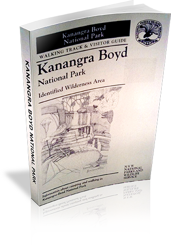
Kanangra Boyd National Park : Identified Wilderness Area : Information about camping and walking in Kanangra-Boyd National Park
Title: Kanangra Boyd National Park : Identified Wilderness Area : Information about camping and walking in Kanangra-Boyd National Park
Author: Stephen Alton
Edition: 1
Publisher: NSW National Parks and Wildlife Service
ISBN: 0731088220
Number of pages: 23
Year of Publication: 1995
Cover Price (au$): 2.20
Format: Paperback
Website: http://www.environment.nsw.gov.au/nationalparks/
Weight (grams): 40
Regions the book covers: Kanangra-Boyd National Park
Height (cm): 21
Subjects:
National parks and reserves - New South Wales - Blue Mountains - Guidebooks,Nature trails - New South Wales - Kanangra-Boyd National Park - Guidebooks,Kanangra-Boyd National Park (N.S.W.) - Guidebooks
Interpretive Information: Detailed
Grade system explained: No
Ascent and/or Decent provided: No
Driving directions provided: No
Date walks last reviewed provided: No
A summary of walks provided: No
Regional Map of walks provided: Yes
Maps designed for walking: Yes - limited detail
Type of maps used (for walking): Sketch
Colour used in walking maps: Black and White
Size of walking maps: Full page
Walking map Comment: Additional maps required for basically all walks.
Colour depth of photos: None
Comment on Photographs: Pictograms of flora and fauna.
Level of detail in tracknotes: General route description
List of walks in book
| Walk Name | Length | Time | Grade | Page |
|---|---|---|---|---|
| Lookout Walk | 10 mins | Easy | 11 | |
| Waterfall Walk | 20 mins | Hard | 15 | |
| Plateau Walk | 4 hrs | Medium | 15 | |
| Morong Falls Walk | 4 hrs | Medium | 17 | |
| Crafts Wall and Pages Pinnacle | 1 Day | Experienced Walkers Only | 17 |
