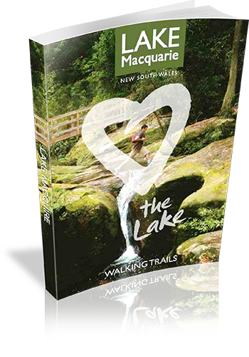
Lake Macquarie - the Lake - Walking Trails
Title: Lake Macquarie - the Lake - Walking Trails
Download Sample: http://121.50.208.46/lakemac/Walking%20Trails.pdf
Author: Lake Macquarie Tourism
Publisher: Lake Macquarie Tourism
Number of pages: 28
Year of Publication: 2010
Cover Price (au$): 0
Format: Paperback
Website: http://www.visitlakemac.com.au
Regions the book covers: Lake Macquarie, Watagans
Height (cm): 21
Subjects:
Walking - New South Wales - Lake Macquarie - Guidebooks
Interpretive Information: Minimal
Grade system explained: Yes
Ascent and/or Decent provided: No
Driving directions provided: No
Date walks last reviewed provided: No
A summary of walks provided: No
Regional Map of walks provided: Yes
Maps designed for walking: Yes - limited detail
Type of maps used (for walking): Sketch
Colour used in walking maps: Multicolour
Size of walking maps: Half page
Colour depth of photos: Colour
Level of detail in tracknotes: Overview only
Alternate route and side trip suggestions: Some walks
List of walks in book
| Walk Name | Length | Time | Grade | Page |
|---|---|---|---|---|
| Mount Sugarloaf | 275 m | Moderate | 8 | |
| Mount Sugarloaf 2 | 1.6 km | Moderate | 8 | |
| Warners Bay Foreshore | 5 km | Easy | 9 | |
| Yuelarbah Track | 25 km | Easy-Moderate | 10 | |
| Glenrock Lagoon | 2.3 km | 1 Hr | Easy | 12 |
| Fernleigh Track | 8.9 km | 2 hrs | Easy | 13 |
| Awabakal Nature Reserve | 5 km | 1 Hr | Easy-Moderate | 14 |
| Ken & Audrey Owens Walk | 4 km | 1 Hr | Easy | 15 |
| Green Point Foreshore | 7 km | Easy | 16 | |
| Belmont Lagoon | 4.3 km | 50 mins | Easy | 17 |
| Galgabba Point | 1.5 km | 1 Hr | Easy | 18 |
| Wallarah Peninsula Track | 8 km | 2 hrs | Moderate | 19 |
| Caves Beach Walk | 6 km | 2 hrs | Moderate | 20 |
| The Palms Track | 1 km | 30 mins | Easy | 21 |
| Wangi Wangi Point | 500 m | 18 mins | Easy | 22 |
| Wangi Wangi Point | 2.2 km | 1 Hr | Moderate | 22 |
| Kilaben Bay Nature Walk | 1.5 km | 45 mins | Easy | 23 |
| Boarding House Dam | 620 m | 18 mins | Easy | 24 |
| The Gap Creek Falls Trail | 700 m | 1 Hr | Hard | 24 |
| Muirs Walking Trail | 1.5 km | 1 Hr | Moderate | 26 |
| The Pines Trail | 1.1 km | 45 mins | Easy | 26 |
