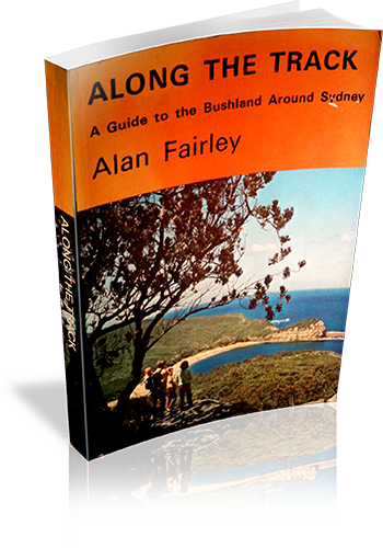
Along the track : a guide to the bushland around Sydney
Title: Along the track : a guide to the bushland around Sydney
Author: Alan Fairley
Edition: 1
Publisher: Alan Fairley
ISBN: 0959903216
Number of pages: 115
Year of Publication: 1974
Format: Paperback
Weight (grams): 210
Regions the book covers: Sydney, Blue Mountains and Central Coast
Height (cm): 21
Subjects:
Hiking - New South Wales - Sydney region,Sydney Region (N.S.W.) - Guidebooks
Niche: Bushwalks in Sydney and surrounds
Interpretive Information: Plenty
Grade system explained: No
Ascent and/or Decent provided: No
Driving directions provided: Yes
Date walks last reviewed provided: No
A summary of walks provided: No
Regional Map of walks provided: Yes
Maps designed for walking: Yes - reasonable detail
Type of maps used (for walking): Simple Topographic
Colour used in walking maps: Black and White
Size of walking maps: Full page
Walking map Comment: One map per region, shared between a few walks
Colour depth of photos: Black and White
Comment on Photographs: There are a few photo plates scattered through the book, and sketches of plants.
Level of detail in tracknotes: Detailed route information
Alternate route and side trip suggestions: Some walks
List of walks in book
| Walk Name | Length | Time | Grade | Page |
|---|---|---|---|---|
| Killcare - Maitland Bay | 3 km | 4 hrs | 5 | |
| Old Maitland Store to Maitland Bay | 40 mins | 12 | ||
| Old Maitland Store to Bullimah | 30 mins | 12 | ||
| Mt. Bouddi - Bombi Moor - Little Beach (round trip) | 5 hrs 30 mins | 15 | ||
| Girrakool - Piles Creek - Mooney Mooney Creek - Girrakool | 4 hrs 30 mins | 22 | ||
| Piles Creek Circuit | 3 hrs | 22 | ||
| Girrakool - Pearl Beach or Patonga | 8 hrs | 29 | ||
| Evans Lookout - Govetts Leap | 1 Hr | 40 | ||
| Govetts Leap - Rodriguez Pass | 8 hrs | 43 | ||
| Govett's Leap - Horseshoe Falls - The Jungle | 3 hrs | 48 | ||
| Grand Canyon - Neates Glen | 3 hrs 30 mins | 50 | ||
| Perrys Lookdown - Blue Gum Forest | 3 hrs 30 mins | 52 | ||
| West Head : Picnic Area to West Head Lookout | 1.2 km | 25 mins | 58 | |
| West Head : Picnic Area - Aboriginal engravings - Headland | 3 km | 1 hr 15 mins | 58 | |
| West Head : Red Hand Nature Walk | 250 m | 15 mins | 58 | |
| West Head - Mackerel Beach | 1 hr 30 mins | 64 | ||
| West Head Road - White Horse Beach - Flint and Steel Bay - Hungry Beach | 1 Hr | 67 | ||
| The Dolorite Track | 30 mins | 70 | ||
| West Head Road - America Bay | 2 hrs | 72 | ||
| West Head Road - America Bay Lookout | 30 mins | 72 | ||
| The Basin Track | 2.5 | 74 | ||
| The Challenger Track | 2.4 km | 1 hr 30 mins | 79 | |
| Waterfall - Kingfisher Pool - Mooray Track - Waterfall | 3 hrs | 87 | ||
| Waterfall - Bullawarring Track - Friendly Road - Heathcote | 10.5 km | 4 hrs 30 mins | 94 | |
| Heathcote - Heathcote Creek - The Friendly Road - Heathcote | 3 km | 2 hrs | Easy | 98 |
| Heathcote - Heathcote Creek - Engadine | 3 hrs | 101 | ||
| North Scouters Mountain - Electricity Trail Mirang Lookout | 3.2 km | 3 hrs 30 mins | 102 |
