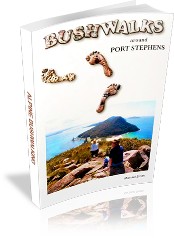
Bushwalks around Port Stephens
Title: Bushwalks around Port Stephens
Author: Michael Smith
Edition: 7
Publisher: Michael Smith
Number of pages: 48
Year of Publication: 2008
Cover Price (au$): 5.95
Format: Paperback
Weight (grams): 110
Regions the book covers: Port Stephens
Height (cm): 21
Subjects:
Walking - New South Wales - Port Stephens - Guidebooks,Hiking - New South Wales - Port Stephens - Guidebooks,Port Stephens (N.S.W.) - Guidebooks
Interpretive Information: Detailed
Grade system explained: Yes
Ascent and/or Decent provided: No
Driving directions provided: No
Date walks last reviewed provided: No
A summary of walks provided: Yes
Regional Map of walks provided: Yes
Maps designed for walking: Yes - reasonable detail
Type of maps used (for walking): Simple Topographic
Colour used in walking maps: Multicolour
Size of walking maps: Full page
Walking map Comment: Clear maps, some walks share maps
Colour depth of photos: Colour
Comment on Photographs: Many photographs throughout book
Level of detail in tracknotes: General route description
Alternate route and side trip suggestions: Many walks
List of walks in book
| Walk Name | Length | Time | Grade | Page |
|---|---|---|---|---|
| Coal Shaft Bay | 2 km | 2 | 5 | |
| Morna Point Walk | 2 km | 1 hr 30 mins | 3 | 6 |
| Tank Hill | 1 km | 45 mins | 2 | 6 |
| Kingsley to Little Kingsley | 1.5 km | 1 Hr | 3 | 7 |
| Fishermans Bay to Little Kingsley Beach | 1.8 km | 1 Hr | 2 | 7 |
| Anna Bay 1 | 2 km | 20 mins | 1 | 7 |
| Anna Bay 2 | 6 km | 30 mins | 3 | 7 |
| Torpedo Tubes | 1.8 km | 45 mins | 1 | 9 |
| Stephens Peak | 1 km | 1 Hr | 3 | 9 |
| Stephens Peak 2 | 1 km | 1 Hr | 3 | 9 |
| Wreck Beach | 1 km | 40 mins | 3 | 11 |
| Three Peaks | 4 km | 1 hr 20 mins | 2 | 11 |
| Point Stephens | 6 km | 2 hrs 30 mins | 4 | 12 |
| Tomaree Summit Track | 1.5 km | 1 hr 15 mins | 2 | 15 |
| Ocean Roacks Track | 1.2 km | 45 mins | 4 | 16 |
| Soldiers Point | 9 km | 2 hrs 30 mins | 3 | 21 |
| Maiangal Track | 45 km | 3 Days | 4 | 22 |
| Boyces Track | 9 km | 3 hrs | 4 | 24 |
| Broughton Island Summit | 3 km | 1 hr 45 mins | 3 | 27 |
| Rainbow Cave | 2 km | 2 hrs | 4 | 30 |
| Lily Hill Slopes | 1.5 km | 40 mins | 3 | 33 |
| Gan Gan Hill | 2.5 km | 45 mins | 2 | 34 |
| Kurrara Hill | 1 km | 1 hr 30 mins | 5 | 35 |
| Big Rocky | 6 km | 2 hrs 30 mins | 3 | 37 |
| Fingal Bay West Ridge | 4 km | 1 Hr | 3 | 38 |
| Yacaaba 1 | 4 km | 2 hrs | 3 | 38 |
| Yacaaba 2 | 8 km | 4 hrs | 3 | 38 |
| Winda Woppa Walk | 5 km | 2 hrs | 3 | 40 |
| Boomeri Walk | 4 km | 2 hrs | 3 | 41 |
| Murrang Walk | 3.5 km | 2 hrs | 4 | 43 |
| Barry Park | 750 m | 30 mins | 1 | 43 |
| Native Flora Garden | 1 km | 1 Hr | 1 | 44 |
| Corlette Headland Walk | 1 km | 1 Hr | 2 | 45 |
| Tilligerry Circuit | 9 km | 4 hrs | 3 | 45 |
| Whistling Kite Lookout | 2 km | 45 mins | 2 | 45 |
| Helen Avenue Koala Reserve | 1 km | 30 mins | 2 | 47 |
| Tilligerry Habitat Reserve | 2 km | 40 mins | 1 | 47 |
| Tanilba Knoll | 1 km | 30 mins | 2 | 47 |
