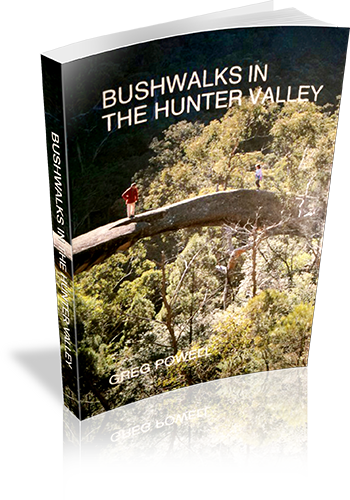
Bushwalks in the Hunter Valley
Title: Bushwalks in the Hunter Valley
Author: Greg Powell
Edition: 1
Publisher: Macstyle
ISBN: 0958841799
Number of pages: 140
Year of Publication: 1989
Cover Price (au$): 11.95
Weight (grams): 210
Regions the book covers: Hunter Valley and Central Coast
Height (cm): 21
Subjects:
Hiking - New South Wales - Hunter River Region,Hunter River Region (N.S.W.) - Guidebooks
Niche: Walksin the Hunter Valley, south to Central Coast, north to Barrington
Interpretive Information: Some
Grade system explained: No
Ascent and/or Decent provided: No
Driving directions provided: Yes
Date walks last reviewed provided: No
A summary of walks provided: No
Regional Map of walks provided: No
Maps designed for walking: Yes - limited detail
Type of maps used (for walking): Sketch
Colour used in walking maps: Black and White
Size of walking maps: Half page
Walking map Comment: Decorative maps, one for almost every walk
Colour depth of photos: Black and White
Comment on Photographs: There are a few photos throughout the book.
Level of detail in tracknotes: General route description
List of walks in book
| Walk Name | Length | Time | Grade | Page |
|---|---|---|---|---|
| Paterson River | 25 | |||
| Allyn River | 26 | |||
| Williams River | 28 | |||
| Karuah River (Whispering Gully) | 29 | |||
| Gloucester River | 31 | |||
| Barrington Tops | 36 | |||
| Gloucester Tops | 38 | |||
| Mount Royal | 40 | |||
| Burning Mountain | 42 | |||
| Colo River | 60 | |||
| Widden Valley | 64 | |||
| Goulburn River | 70 | |||
| Mount Yengo | 72 | |||
| Howes Valley | 74 | |||
| The Great North Road | 76 | |||
| Central Coast | 88 | |||
| Ten Mile Hollow | 90 | |||
| Munmorah State Recreation Area | 92 | |||
| Simpson Track | 94 | |||
| Watagan Mountains | 98 | |||
| Awaba | 100 | |||
| Green Point | 102 | |||
| The Great North Walk | 104 | |||
| Tomaree National Park | 108 | |||
| Coastal Walks | 110 | |||
| Alum Mountain - Bulahdelah | 112 | |||
| Williams and Paterson Valleys | 114 | |||
| Whispering Gully (Karuah River) | 117 | |||
| Gloucester Bucketts (Gloucester) | 117 | |||
| Stockrington Railway Tunnels and Caves | 117 | |||
| Wangi Point (Lake Macquarie) | 117 | |||
| Mount Munibung (Speer Point) | 117 | |||
| Mungo Track (Hawkes Nest) | 117 | |||
| Gillwinga Walk (Allyn River) | 117 | |||
| Myuna Bay (Lake Macquarie) | 117 | |||
| Mount Carrow (Mount Royal Area) | 117 | |||
| Coolah Tops (Liverpool Range) | 117 | |||
| Ben Hall Gap (Timor) | 117 | |||
| Wallabadah ROck (Wallabadah) | 117 | |||
| Walka Waterworks (Maitland) | 117 | |||
| Yellow Rock (Broke) | 117 | |||
| Broken Back Range (Polkobin) | 117 | |||
| Blackbutt Reserve (New Lambton) | 117 | |||
| Shortland Wetlands (Shortlands) | 117 | |||
| Botanic Gardens (Raymond Terrace) | 117 | |||
| Awabakal Reserve (Dudley) | 117 | |||
| Wingen Maid (Scone) | 117 | |||
| Timor Caves (Timor) | 117 | |||
| Wallingat Forest (Bungwahl) | 117 | |||
| Mountain Maid Mine (Copeland) | 117 | |||
| Eskania Park (Ourimbah) | 117 |
