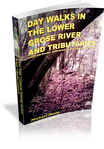
Day walks in the lower Grose River and tributaries : (with particular reference to the Engineers Track)
Title: Day walks in the lower Grose River and tributaries : (with particular reference to the Engineers Track)
Author: Michael Keats
Edition: 1
Publisher: Keats Holdings
ISBN: 0646445227
Number of pages: 61
Year of Publication: 2004
Cover Price (au$): 16.95
Format: Paperback
Weight (grams): 100
Regions the book covers: Grose River and Tributaries
Height (cm): 30
Subjects:
Hiking - New South Wales - Grose River Region,Grose River Region (N.S.W.) - Guidebooks
Overview of Book:
This book is a log of ten walks done by the author and club members. Some detail of the tracks is given, and much insight into the experience of walking with a club.
Niche: A log of walks done by the author and club members
Interpretive Information: Minimal
Grade system explained: No
Ascent and/or Decent provided: No
Driving directions provided: No
Date walks last reviewed provided: Yes
A summary of walks provided: No
Regional Map of walks provided: No
Maps designed for walking: Yes - reasonable detail
Type of maps used (for walking): Detailed Topographic
Colour used in walking maps: Greyscale
Size of walking maps: Full page
Walking map Comment: Maps are Department of Lands topographic maps, with approximate route drawn by author.
Colour depth of photos: Black and White
Comment on Photographs: Photographs are primarily of members of the walking party, with a few additional photographs of the environment.
Level of detail in tracknotes: General route description
Alternate route and side trip suggestions: None
List of walks in book
| Walk Name | Length | Time | Grade | Page |
|---|---|---|---|---|
| Woods Reserve to the Junction of the Grose River with the Nepean and Hawkesbury River | ** | 7 | ||
| The Suspension cable track crossing to Paterson Hill | 8 km | **.5 | 12 | |
| Cabbage Tree Creek to Springwood Creek | 12 km | **.5 | 17 | |
| Grose River walking track to Springwood Creek - Kariwoga Eidge | *** | 21 | ||
| Grose River walkin track to Linden Creek via Faulconbridge Point | **.5 | 26 | ||
| Grose River no.6/10 | 30 km | **** | 31 | |
| Grose River Faulconbridge Point to Linden Point | 28 km | 11 hrs | *** | 36 |
| Grose River The Devils Wilderness | 18 km | **** | 40 | |
| The Grose River from the Devils Wilderness to Brown's Creek | 17 km | **** | 47 | |
| The Grose River from below Brown's Creek to above Wentworth Cave | 10 km | ***challenging | 51 |
