Title: Discovering Yengo and Dharug National Park on foot
Author: Anthony Dunk
Edition: 1
Publisher: Envirobook
ISBN: 0858811839
Number of pages: 91
Year of Publication: 2001
Cover Price (au$): 13.95
Format: Paperback
Website: http://adunk.ozehosting.com/yengocontents.html
Weight (grams): 100
Regions the book covers: Yengo, Dhurug and Popran National Parks
Height (cm): 18
Subjects:
Hiking -- New South Wales -- Yengo National Park,Hiking -- New South Wales -- Dharug National Park
Authors Comments:
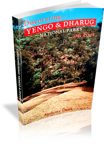
This book covers Yengo, Dharug, and Popran National Parks - a large area of rugged ridges,
cliffs and sandy creeks north-west of Sydney. Its a great area for bushwalking, panoramic
views, and mountain bike riding. A central feature of the area is the Macdonald River - a
shallow, sandy stream which winds its way through more than 40 kilometres of wilderness
(see cover picture). The parks also contain much aboriginal rock art and the fascinating,
convict-built, Old Great North Road. There are over 20 walks each with sketch maps and
photos. The walks range from easy strolls to multi-day wilderness treks. There's also
sections giving driving instructions, park info, and equipment and navigation guidance
(including GPS).
Niche: Walks in Yengo, Dharug and Popran National Parks
Interpretive Information: Some
Grade system explained: No
Ascent and/or Decent provided: No
Driving directions provided: Yes
Date walks last reviewed provided: No
A summary of walks provided: No
Maps designed for walking: Yes - limited detail
Type of maps used (for walking): Sketch
Colour used in walking maps: Black and White
Size of walking maps: Full page
Walking map Comment: Maps are of varied size, appropriate to walk. A few maps are shared by two or three walks.
Colour depth of photos: Black and White
Comment on Photographs: On average, one photograph for every three pages.
Level of detail in tracknotes: Detailed route information
Alternate route and side trip suggestions: Some walks
Author: Anthony Dunk
Edition: 1
Publisher: Envirobook
ISBN: 0858811839
Number of pages: 91
Year of Publication: 2001
Cover Price (au$): 13.95
Format: Paperback
Website: http://adunk.ozehosting.com/yengocontents.html
Weight (grams): 100
Regions the book covers: Yengo, Dhurug and Popran National Parks
Height (cm): 18
Subjects:
Hiking -- New South Wales -- Yengo National Park,Hiking -- New South Wales -- Dharug National Park
Authors Comments:
This book covers Yengo, Dharug, and Popran National Parks - a large area of rugged ridges,
cliffs and sandy creeks north-west of Sydney. Its a great area for bushwalking, panoramic
views, and mountain bike riding. A central feature of the area is the Macdonald River - a
shallow, sandy stream which winds its way through more than 40 kilometres of wilderness
(see cover picture). The parks also contain much aboriginal rock art and the fascinating,
convict-built, Old Great North Road. There are over 20 walks each with sketch maps and
photos. The walks range from easy strolls to multi-day wilderness treks. There's also
sections giving driving instructions, park info, and equipment and navigation guidance
(including GPS).
Niche: Walks in Yengo, Dharug and Popran National Parks
Interpretive Information: Some
Grade system explained: No
Ascent and/or Decent provided: No
Driving directions provided: Yes
Date walks last reviewed provided: No
A summary of walks provided: No
Maps designed for walking: Yes - limited detail
Type of maps used (for walking): Sketch
Colour used in walking maps: Black and White
Size of walking maps: Full page
Walking map Comment: Maps are of varied size, appropriate to walk. A few maps are shared by two or three walks.
Colour depth of photos: Black and White
Comment on Photographs: On average, one photograph for every three pages.
Level of detail in tracknotes: Detailed route information
Alternate route and side trip suggestions: Some walks