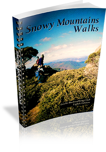
Snowy Mountains Walks
Title: Snowy Mountains Walks
Author: Geehi Club
Edition: 1
Publisher: Geehi Club
ISBN: 0959965114
Number of pages: 148
Year of Publication: 1978
Cover Price (au$): 29.95
Format: Paperback
Weight (grams): 340
Regions the book covers: Snowy Mountains
Height (cm): 21
Subjects:
Hiking - New South Wales - Snowy Mountains - Guidebooks,Snowy Mountains Region (N.S.W.) - Description and travel
Niche: Bushwalks in the Snowy Mountains
Interpretive Information: Detailed
Grade system explained: No
Ascent and/or Decent provided: Yes
Driving directions provided: No
Date walks last reviewed provided: No
A summary of walks provided: No
Regional Map of walks provided: Yes
Maps designed for walking: Yes - reasonable detail
Type of maps used (for walking): Detailed Topographic
Colour used in walking maps: Multicolour
Size of walking maps: Full page
Walking map Comment: Detailed topographic maps, unique for most walks.
Colour depth of photos: Colour
Comment on Photographs: Photographs every few pages.
Level of detail in tracknotes: Detailed route information
Alternate route and side trip suggestions: Many walks
List of walks in book
| Walk Name | Length | Time | Grade | Page |
|---|---|---|---|---|
| Hannels Spur (Crackenback Top Station - Mt Kosciuszko - Hannels Spur - Geehi) | 20 km | 9 hrs | 48 | |
| Canyon Falls (Crackenback Top Station - Mt Kosciuszko - Mt Townsend - Townsend SPur - Canyon Falls - Watsons Crag or Tumbling Waters) | 12 km | 2 Days | 53 | |
| Watsons Crag (Charlottes - Pass Watsons Crags - Geehi River | 13 km | 10 hrs | 56 | |
| Tate West Ridge (Guthega - Consett Stephens Pass - Tate west Ridge - Geehi Dam) | 13 km | 8 hrs | 58 | |
| Leaning Rock (Whites River Hut - Windy Creek - Leaning Rock - Geehi Dam) | 9 km | 6 hrs | 60 | |
| Crackenback top station - Rawson Pass - Mt Townsend | 11 km | 7 hrs | 62 | |
| The Lakes Walk (Charlottes Pass - Rawson Pass - Muellers Pass - Carruthers Peak - Charlottes Pass) | 22 km | 7 hrs | 66 | |
| Club Lake (Charlottes Pass - Hedley Tarn Lookout - Club Lake) | 5.5 km | 2 hrs | 71 | |
| Charlottes Pass to the Sentinel | 10 km | 3 hrs 30 mins | 73 | |
| North Ramshead | 5 km | 3 hrs | 75 | |
| Lake Cootapatamba | 8 km | 4 hrs | 77 | |
| Crachenback Chairlift to Ramshead and Dead Horse Gap | 8 km | 4 hrs 30 mins | 78 | |
| Guthega Dam to Mount Tate | 11 km | 4 hrs | 81 | |
| Mount Twynam (Guthega - Mt Twynam - Tate East RIdge - Guthega) | 15 km | 9 hrs | 84 | |
| Mount Twynam (Charlottes Pass - Blue Lake - Mt Twynam - Guthega) | 9 km | 4 hrs | 84 | |
| Persher Village to Mount Wheatley and the Porcupine | 8 km | 3 hrs | 88 | |
| Rennex Gap to Snowy Adit | 10 km | 4 hrs | 92 | |
| Dead Horse Gap to the Chimneys and the Cascades | 16 km | 8 hrs | 104 | |
| Guthega Power Station to Schlink Pass | 7.5 km | 5 hrs | 111 | |
| Schlink Pass to Valentine Falls | 7 km | 2 hrs 30 mins | 113 | |
| Valentine Falls to Grey Mare Hut | 4 km | 2 hrs | 113 | |
| Grey Mare Hut to Jagungal | 10 km | 3 hrs | 116 | |
| Emu Plain to Manjar And Black Jack | 128 | |||
| Kiandra to Nine Mile Diggings and Tabletop Mountain | 24 km | 10 hrs | 132 | |
| Milk Shanty Falls | 136 | |||
| Blue Creek Coppermine | 141 | |||
| Landers Creek Falls to Big Talbingo Trig | 3 km | 146 | ||
| Cave Creek and Blue Water Hole Area (River Cave, Murray Cave, Cooleman Cave, Barbers Cave, White Fish Cave, Murderers Cave, Blackfellows Cave) | 148 |
