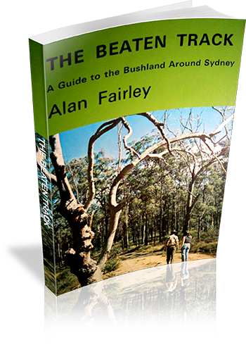
The Beaten Track : A Guide to the Bushland Around Sydney
Title: The Beaten Track : A Guide to the Bushland Around Sydney
Author: Alan Fairley
Edition: 1
Publisher: Alan Fairley
ISBN: 0959903208
Number of pages: 106
Year of Publication: 1972
Format: Paperback
Weight (grams): 165
Regions the book covers: Sydney, Blue Mountains, Southern Highlands
Height (cm): 21
Subjects:
Hiking - New South Wales - Sydney region,Sydney Region (N.S.W.) - Guidebooks
Interpretive Information: Plenty
Grade system explained: No
Ascent and/or Decent provided: No
Driving directions provided: Yes
Date walks last reviewed provided: No
A summary of walks provided: No
Regional Map of walks provided: No
Maps designed for walking: Yes - limited detail
Type of maps used (for walking): Sketch
Colour used in walking maps: Black and White
Size of walking maps: Full page
Colour depth of photos: Black and White
Comment on Photographs: There are a number of regional photographs throughout the book, and pictographs of wildflowers.
Level of detail in tracknotes: General route description
List of walks in book
| Walk Name | Length | Time | Grade | Page |
|---|---|---|---|---|
| Bobbin Head - Kalkari - Bobbin Head | 6.5 km | 2 hrs 30 mins | 13 | |
| Bobbin Head - Sphinx - Bobbin Head | 4 hrs | 15 | ||
| Lovett Bay - West Head Road - Salvation Creek - Elvina Bay | 4 hrs | 17 | ||
| West Head Road - Towler Bay Lookout | 5.6 km | 2 hrs 30 mins | 19 | |
| Prince Henry Cliff Walk - Federal Pass | 3 hrs 30 mins | 37 | ||
| Scenic Railway - Ruined Castle | 5 hrs | 39 | ||
| Wentworth Falls - National Pass - Valley of the Waters | 3 hrs | 42 | ||
| Glenbrook Creek - Red Hands Cave | 3 hrs | 44 | ||
| Glenbrook Creek - Mt. Portal | 4 hrs | 44 | ||
| Bundanoon - Glow Worm Glen - Dymocks Creek | 3 hrs 30 mins | 70 | ||
| Gambell's Rest - Fairy Bower - Nicholas Pass - Amphitheatre | 2 hrs 30 mins | 72 | ||
| Gambell's Rest - Tooth's Lookout - Cliff Climb - Bundanoon Creek | 3 hrs | 73 | ||
| Fitzroy Falls: Western Trail | 1 hr 30 mins | 74 | ||
| Fitzroy Falls: Eastern Trail | 2 hrs 30 mins | 74 | ||
| Fitzroy Falls: Bridgeman's Lookout | 2 hrs | 74 | ||
| Bundeena - Marley - Wattamolla - Garie | 17.7 km | 6 hrs | 90 | |
| Bundeena to Little Marley | 6.4 km | 2 hrs | 90 | |
| Little Marley to Wattamolla | 3.2 km | 1 Hr | 90 | |
| Wattamolla to Garie | 8 km | 3 hrs | 90 | |
| Bundeena Road - Marley | 3.2 km | 45 mins | 90 | |
| Marley - Little Marley Return | 4 km | 1 Hr | 90 | |
| Wattamolla - Curra Moors - Garawarra - Otford Station | 17.7 km | 5 hrs 30 mins | 94 | |
| Wattamolla to Garie Beach Road | 9.7 km | 3 hrs | 94 | |
| Garie Beach Road - Otford | 8 km | 2 hrs 30 mins | 94 | |
| Garie - Figure 8 Pool - Otford Station | 12.9 km | 4 hrs | 96 | |
| Bundeena Road - Deer Pool - Marley Beach - Little Marley - Bundeena Road | 7.2 km | 1 hr 45 mins | 98 |
