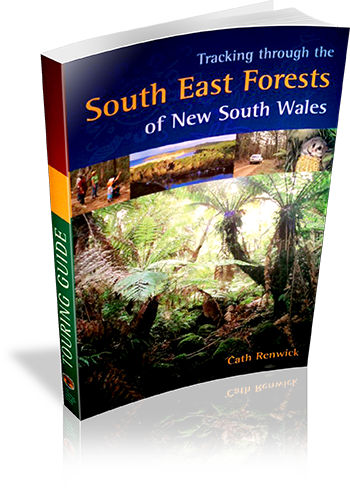
Tracking through the South East Forests of New South Wales : touring guide
Title: Tracking through the South East Forests of New South Wales : touring guide
Author: Cath Renwick
Edition: 1
Publisher: The Beaten Track Press
ISBN: 1876131063
Number of pages: 65
Year of Publication: 2004
Cover Price (au$): 14.95
Format: Paperback
Website: http://www.environment.nsw.gov.au/nationalparks/
Weight (grams): 200
Regions the book covers: South coast NSW
Height (cm): 24
Subjects:
National parks - New South Wales - Guidebooks,Forests and forestry - Environmental aspects - New South Wales - Guidebooks
Overview of Book:
This book is primarily an interpretive guide to the South East NSW National Parks. There is a chapter devoted to 'Enjoying the forests', with details on driving tours, bushwalks and campsites.
Interpretive Information: Detailed
Grade system explained: No
Ascent and/or Decent provided: No
Driving directions provided: No
Date walks last reviewed provided: No
A summary of walks provided: Yes
Regional Map of walks provided: Yes
Maps designed for walking: No - no maps intended for use when walking
Walking map Comment: Regional driving maps provided in full colour, however no walking maps provided.
Colour depth of photos: Colour
Comment on Photographs: Glossy photographs throughout the book.
Level of detail in tracknotes: Overview only
Alternate route and side trip suggestions: None
List of walks in book
| Walk Name | Length | Time | Grade | Page |
|---|---|---|---|---|
| Six Mile Creek | 300 m | 15 mins | Easy | 54 |
| Wolumla Peak | 500 m | 1 Hr | Medium | 54 |
| Pipers Lookout | 500 m | 18 mins | Easy | 54 |
| Pinnacles | 1 km | 30 mins | Easy | 54 |
| Carters Creek | 1 km | 20 mins | Easy | 54 |
| Goodenia Rainforest | 1.2 km | 50 mins | Medium | 55 |
| Hobart Beach to Bournda Lagoon | 5 km | 1 hr 30 mins | Easy | 55 |
| Bournda Lagoon to North Tura | 2 km | 30 mins | Easy | 55 |
| Hobart Beach Campground to Bondi Lake | 2 km | 30 mins | Easy | 55 |
| Turingal Head to Games Bay | 5 km | 2 hrs | Medium | 55 |
| Myanba Gorge | 2 km | 1 Hr | Medium | 55 |
| Nunnock Swamp | 5 km | 1 hr 30 mins | Easy | 55 |
| Myrtle Mountain to Wolumla Peak | 11 km | 3 hrs | Difficult | 56 |
| Saltwater to Bittangabee | 9 km | 3 hrs | Medium | 56 |
| Pheasants Peak | 4 km | 2 hrs | Medium | 56 |
| Mount Imlay | 8 km | 4 hrs | Rocky & steep | 56 |
| Kangarutha | 9 km | 5 hrs | Difficult | 56 |
| Light to Light walk | 29.5 km | 10 hrs | Medium | 57 |
| Nadge Wilderness Waking | Difficult | 57 |
