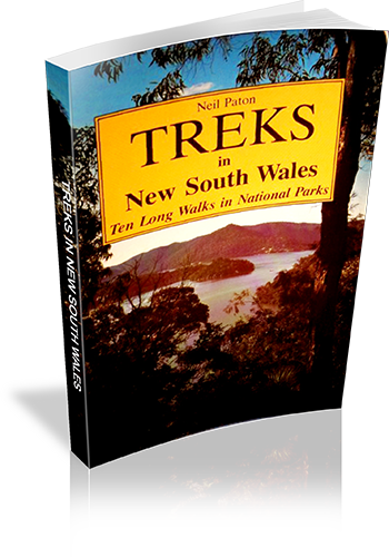
Treks in New South Wales : Ten Long Walks in National Parks
Title: Treks in New South Wales : Ten Long Walks in National Parks
Author: Neil Paton
Edition: 1
Publisher: Kangaroo Press
ISBN: 0864170793
Number of pages: 95
Year of Publication: 1986
Cover Price (au$): 12.95
Format: Paperback
Weight (grams): 95
Regions the book covers: New South Wales
Height (cm): 20
Subjects:
Backpacking - New South Wales,Walking - New South Wales,National parks and reserves - New South Wales - Guidebooks,New South Wales - Guide-books
Niche: Long walks
Interpretive Information: Minimal
Grade system explained: No
Ascent and/or Decent provided: No
Driving directions provided: Yes
Date walks last reviewed provided: No
A summary of walks provided: No
Regional Map of walks provided: No
Maps designed for walking: Yes - limited detail
Type of maps used (for walking): Sketch
Colour used in walking maps: Black and White
Size of walking maps: Full page
Walking map Comment: Book explicitly states that maps are a rough guide only, and listed topographic maps are required.
Colour depth of photos: Black and White
Comment on Photographs: Two or three photographs per walk.
Level of detail in tracknotes: Detailed route information
Alternate route and side trip suggestions: Many walks
List of walks in book
| Walk Name | Length | Time | Grade | Page |
|---|---|---|---|---|
| Marramarra National Park (Arcadia to Old Northern Road) | 86 km | 9 | ||
| Heathote National Park (Waterfall to Heathcote) | 52 km | 17 | ||
| The Royal Natioanl Park (Loftus to Heathcote) | 62 km | 26 | ||
| Rylstone to Putty | 112 km | 38 | ||
| Newnes and Glen Davis | 95 km | 43 | ||
| The Grose Valley (Leura to Mount Victoria) | 82 km | 51 | ||
| Brisbane Water National Park (Wondabyne to Woy Woy) | 41 km | 65 | ||
| Woodford to Blaxland | 50 km | 74 | ||
| Katoomba to Wombeyan Caves Road | 112 km | 79 | ||
| Katoomba to Kanangra | 64 km | 92 |
