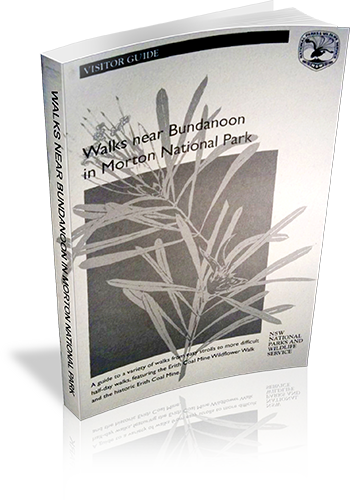
Walks near Bundanoon in Morton National Park
Title: Walks near Bundanoon in Morton National Park
Author: NSW National Parks and Wildlife Service
Edition: 1
Publisher: NSW National Parks and Wildlife Service
ISBN: 0731360338
Number of pages: 9
Year of Publication: 1999
Format: Paperback
Website: http://www.environment.nsw.gov.au/nationalparks/
Weight (grams): 25
Regions the book covers: Morton National Park
Height (cm): 21
Subjects:
National parks and reserves - New South Wales - Bundanoon Region - Guidebooks,Trails - New South Wales - Bundanoon Region - Guidebooks,Bundanoon (N.S.W.) - Guidebooks,Morton National Park (N.S.W.) - Guidebooks
Interpretive Information: Some
Grade system explained: No
Ascent and/or Decent provided: No
Driving directions provided: No
Date walks last reviewed provided: No
A summary of walks provided: No
Regional Map of walks provided: Yes
Maps designed for walking: Yes - limited detail
Type of maps used (for walking): Sketch
Colour used in walking maps: Greyscale
Size of walking maps: Full page
Walking map Comment: One aerial photograph with tracks drawn over it.
Colour depth of photos: Black and White
Comment on Photographs: One aerial photograph, with track lines drawn on it.
Level of detail in tracknotes: Detailed route information
Alternate route and side trip suggestions: None
List of walks in book
| Walk Name | Length | Time | Grade | Page |
|---|---|---|---|---|
| Erith Coal Mine Wildflower Walk | 2 km | 1 Hr | Easy to Medium | |
| Echo Point Loop Walk | 1 Hr | Easy, some steep parts | ||
| Echo Point to Mount Carnarvon | 30 mins | Easy, some steep parts | ||
| Grand Canyon to Fern Glen | 10 mins | Easy with some steps | ||
| Tooths Lookout/Fairy Bower Falls Loop | 1 hr 30 mins | Very steep with steps | ||
| Bundanoon Creek Walk | 2 hrs | Very Steep | ||
| Fairy Bower Falls Walk | 1 Hr | Steep with steel steps to the bottom of the falls | ||
| Amphitheatre Walk | 2 hrs | step in parts with steps | ||
| Glow-worm Glen Walk | 1 Hr | Steep and slippery when wet | ||
| Riverview Road to Glow-worm Glen | ||||
| Mark Morton Lookout | ||||
| Dimmocks Creek | ||||
| Fern Tree Gully |
