Fairfax Heritage Track


45 mins

17 m
Very easy
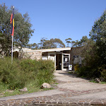


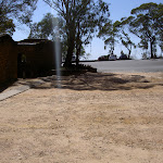


NPWS Heritage Centre


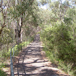
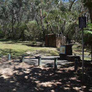
(0km) NPWS Heritage Centre car park → Woodland Retreat

810 m
14 mins
4m
-23m
Very easy


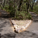
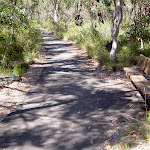
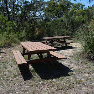
(0.81km) Woodland Retreat → George Phillips Lookout
740 m
13 mins
6m
-27m
Very easy


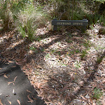
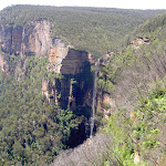
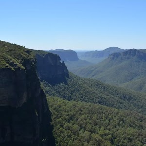
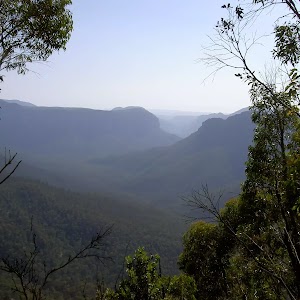
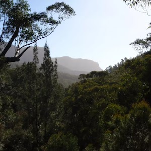
George Phillips Lookout
(1.55km) George Phillips Lookout → Govetts Leap Lookout
340 m
7 mins
7m
-18m
Very easy


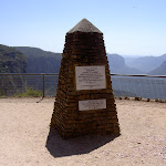
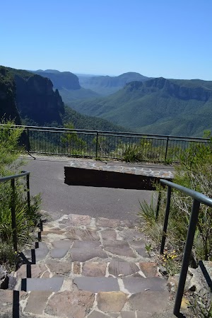
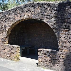
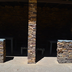
Continue straight: From the large stone shelter[38] at the edge of the turning circle (and car park)[39] at the end of Govetts Leap Rd, this walk heads 35m towards the valley views[40] to head through the stone arch[41] then down the ramp[42] to the large flat gravel and fenced ‘Govetts Leap’ lookout platform[43].
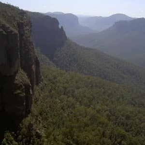
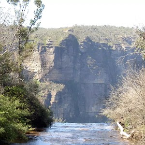
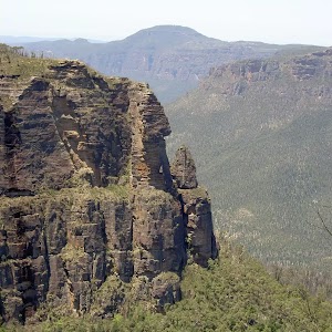
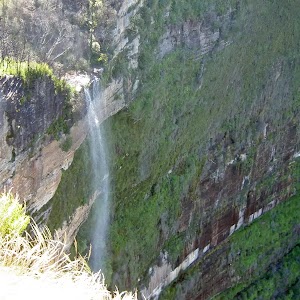
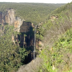
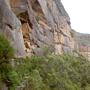
Govetts Leap Lookout


Maps for the Fairfax Heritage Track walk
You can download the PDF for this walk to print a map.These maps below cover the walk and the wider area around the walk, they are worth carrying for safety reasons.
| Katoomba | 1:25 000 Map Series | 89301S KATOOMBA | NSW-89301S |
| Katoomba | 1:100 000 Map Series | 8930 KATOOMBA | 8930 |
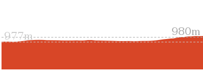
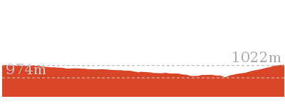
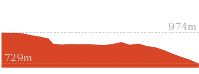
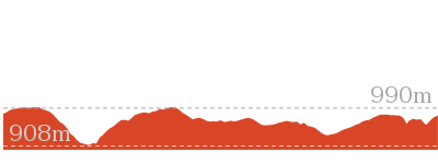
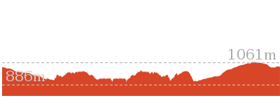
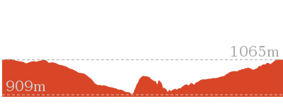
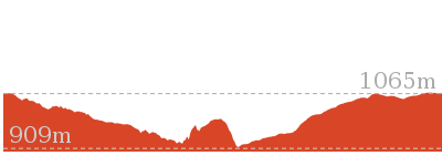
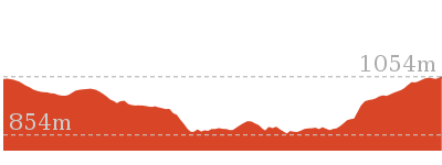
Cross sectional view of the Fairfax Heritage Track bushwalking track
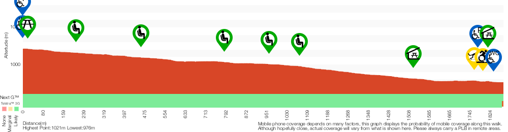
Analysis and summary of the altitude variation on the Fairfax Heritage Track
Accessibility summary information for the Fairfax Heritage Track
Toilets: There are 2 designated accessible toilets on this walk. They are 1840m apart.
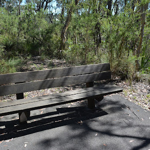
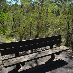
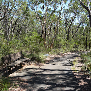
Seats: There are 8 places to sit on this walk. They are on average 260m apart, with a maximum gap of 440m.
Hazards: There are 2 specific noteable accessability related hazards on this walk.
Trip Hazard A 5 to 10cm step between carpark and track. Access is between bollards that are 110cm apart. Found about 1760m into the walk.
Wheelchair Rough This walk leads through a gravel carpark for about 60m. The surface in unevean and erroded in places. The gravel is mostly compressed but the surface may soften after prolonged rain. Found about 1790m into the walk.
Accessibility Details


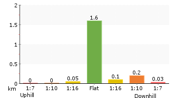
Overview of this walks grade – based on the AS 2156.1 – 2001
Under this standard, a walk is graded based on the most difficult section of the walk.
| Length | 1.9 km | ||
| Time | 45 mins | ||
| . | |||
| Grade 1/6 Very easy |
AS 2156.1 | Gradient | Flat, no steps (1/6) |
| Quality of track | Smooth and hardened path (1/6) | ||
| Signs | Clearly signposted (1/6) | ||
| Experience Required | No experience required (1/6) | ||
| Weather | Weather generally has little impact on safety (1/6) | ||
| Infrastructure | Generally useful facilities (such as fenced cliffs and seats) (1/6) |
Some more details of this walks Grading
Here is a bit more details explaining grading looking at sections of the walk
Gradient
This whole walk, 1.9km is flat with no steps.
Quality of track
This whole walk, 1.9km follows a smooth and hardened path.
Signs
This whole walk, 1.9km is clearly signposted.
Experience Required
This whole walk, 1.9km requires no previous bushwalking experience.
weather
This whole walk, 1.9km is not usually affected by severe weather events (that would unexpectedly impact safety and navigation).
Infrastructure
This whole walk, 1.9km is close to useful facilities (such as fenced cliffs and seats).
Similar walks
588 m Return
30 mins
Very easy
2.4 km Circuit
1 Hr
Very easy
Other Nearby walks
1.2 km Return
1 hr 45 mins
Hard track
3.8 km One way
2 hrs 30 mins
Hard track
3.2 km One way
1 hr 45 mins
Hard track
1.4 km Return
1 Hr
Hard track
13.6 km Circuit
8 hrs
Hard track
2.5 km Return
1 Hr
Hard track
8.7 km Circuit
3 hrs 30 mins
Hard track

18.2 km Circuit
8 hrs 30 mins
Hard track

15.6 km Circuit
7 hrs 30 mins
Hard track
8.7 km Circuit
4 hrs 30 mins
Hard track
24.1 km Circuit
2 Days
Hard track
3.1 km One way
2 hrs
Hard track
Plan your trip to and from the walk here
The Fairfax Heritage Track walk starts at the NPWS Heritage Centre car park (gps: -33.630772, 150.30684)Your transport options to NPWS Heritage Centre car park are by;
(get details)
The Fairfax Heritage Track ends at the Govetts Leap Lookout (gps: -33.627973, 150.31134)
Your transport options to Govetts Leap Lookout are by;
(get details)


Short URL = http://wild.tl/nwn
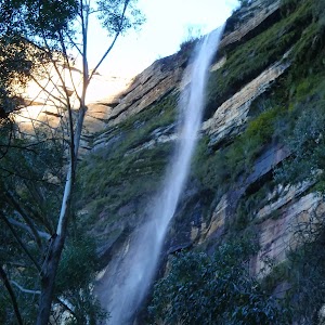
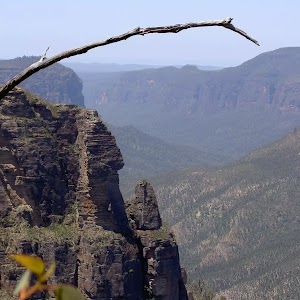
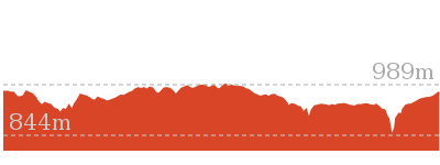
Gallery images
There are other downloads I am still working on.
You will probably need to login to access these — still all free.
* KML (google earth file)
* GPX (GPS file)
Special Maps/ brochures
* A3 topo maps
* PDF with Lands Topo map base
* PDF with arial image (and map overlay)
I wanted to get the main site live first, this extra stuff will come in time.
Happy walking
Matt 🙂
Comments