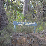
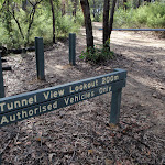
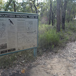
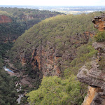
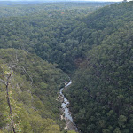
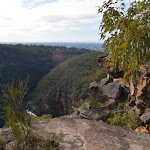
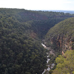
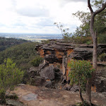
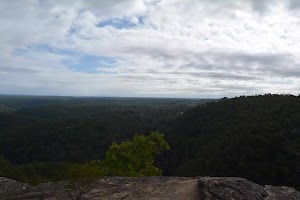
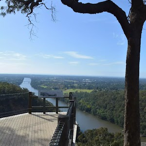
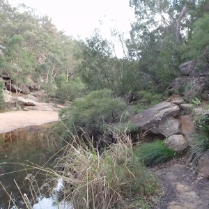
Tunnel View Lookout


30 mins

9 m
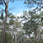
Hard track


(0km) Tunnel View car park → Tunnel View turning circle

240 m
4 mins
7m
0m
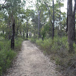
Easy track


(0.24km) Tunnel View turning circle → Tunnel View lookout
20 m
0m
-2m
Hard track


Tunnel View Lookout
Maps for the Tunnel View Lookout walk
You can download the PDF for this walk to print a map.These maps below cover the walk and the wider area around the walk, they are worth carrying for safety reasons.
| Penrith | 1:25 000 Map Series | 90303N PENRITH | NSW-90303N |
| Penrith | 1:100 000 Map Series | 9030 PENRITH | 9030 |
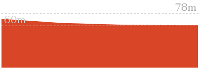
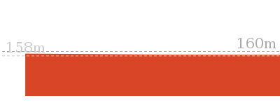
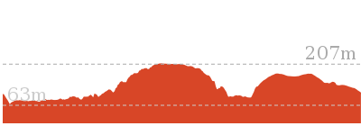
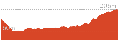
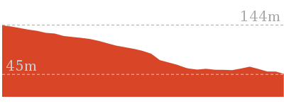
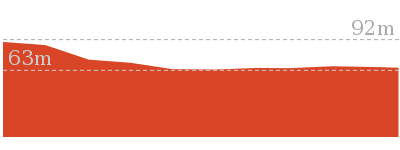
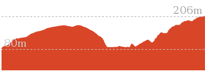
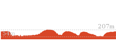
Cross sectional view of the Tunnel View Lookout bushwalking track
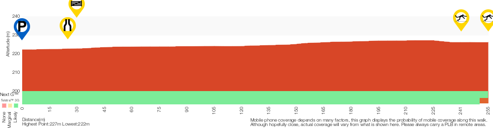
Analysis and summary of the altitude variation on the Tunnel View Lookout
Accessibility summary information for the Tunnel View Lookout
Toilets: There are 0 designated accessible toilets on this walk.
Seats: There are 0 places to sit on this walk.
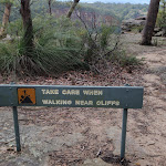
Hazards: There are 2 specific noteable accessability related hazards on this walk.
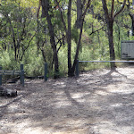
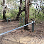
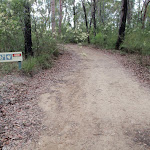
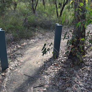
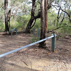
Trip Hazard At the end of the wide trail there is a narrow track leading to the rock platform. The surface is uneven and rocky. Found about 240m into the walk.
Trip Hazard The edge of the rock platform is overhang, unstable and likely to collapse. The rock platform also slopes towards the cliff edge. Please stay at least 5m from the edge. Found about 260m into the walk.
Accessibility Details


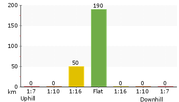
Overview of this walks grade – based on the AS 2156.1 – 2001
Under this standard, a walk is graded based on the most difficult section of the walk.
| Length | 512 m | ||
| Time | 30 mins | ||
| . | |||
| Grade 4/6 Hard track |
AS 2156.1 | Gradient | Gentle hills with occasional steps (2/6) |
| Quality of track | Rough track, where fallen trees and other obstacles are likely (4/6) | ||
| Signs | Minimal directional signs (4/6) | ||
| Experience Required | Some bushwalking experience recommended (3/6) | ||
| Weather | Storms may impact on navigation and safety (3/6) | ||
| Infrastructure | Limited facilities (such as cliffs not fenced, significant creeks not bridged) (4/6) |
Some more details of this walks Grading
Here is a bit more details explaining grading looking at sections of the walk
Gradient
Around 240m of this walk is flat with no steps, whilst the remaining 15m has gentle hills with occasional steps.
Quality of track
Around 240m of this walk follows a clear and well formed track or trail, whilst the remaining 15m follows a rough track, where fallen trees and other obstacles are likely.
Signs
Around 240m of this walk is clearly signposted, whilst the remaining 15m has minimal directional signs.
Experience Required
Around 240m of this walk requires no previous bushwalking experience, whilst the remaining 15m requires some bushwalking experience.
weather
Around 240m of this walk is not usually affected by severe weather events (that would unexpectedly impact safety and navigation), whilst the remaining 15m is affected by storms that may impact your navigation and safety.
Infrastructure
Around 240m of this walk is close to useful facilities (such as fenced cliffs and seats), whilst the remaining 15m has limited facilities (such as cliffs not fenced, significant creeks not bridged).
Similar walks
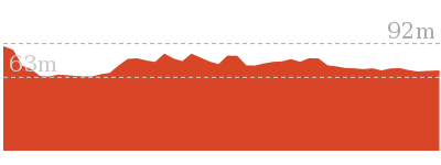
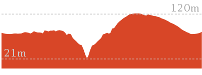
Other Nearby walks
218 m Return
20 mins
Moderate track
74 m Return
10 mins
Very easy
8.3 km Circuit
3 hrs 45 mins
Hard track
8.4 km Circuit
3 hrs 45 mins
Experienced only
1 km Return
45 mins
Moderate track
4.4 km One way
2 hrs
Hard track
1.7 km Return
1 hr 30 mins
Hard track
522 m Return
20 mins
Hard track
2.5 km Return
1 hr 15 mins
Hard track
2.8 km Circuit
1 hr 15 mins
Hard track
4.3 km One way
1 hr 45 mins
Experienced only
16.6 km Circuit
2 Days
Experienced only
Plan your trip to and from the walk here
The Tunnel View Lookout walk starts and ends at the Tunnel View car park (gps: -33.785996, 150.62701)Your main transport option to Tunnel View car park is by;
(get details)


Short URL = http://wild.tl/tvlo
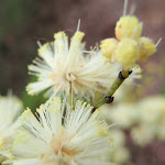
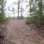
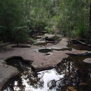
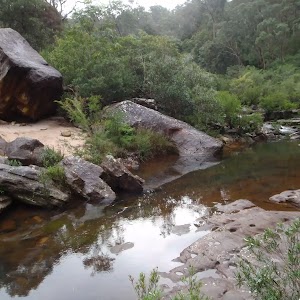
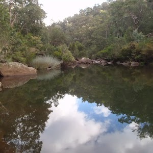
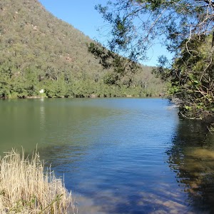
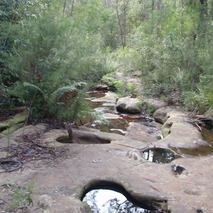
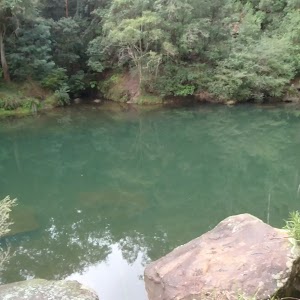
Gallery images
There are other downloads I am still working on.
You will probably need to login to access these — still all free.
* KML (google earth file)
* GPX (GPS file)
Special Maps/ brochures
* A3 topo maps
* PDF with Lands Topo map base
* PDF with arial image (and map overlay)
I wanted to get the main site live first, this extra stuff will come in time.
Happy walking
Matt 🙂
Comments