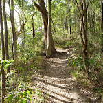
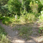
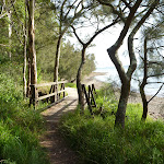
Northern Green Point Circuit


1 hr 30 mins

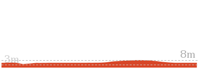
140 m
Hard track


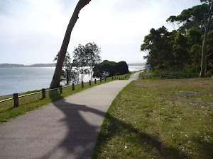
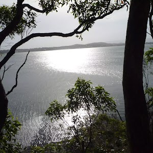
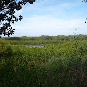
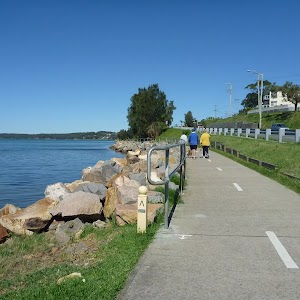
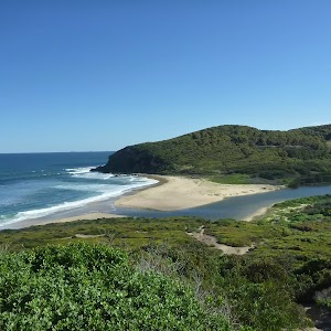
Green Point Foreshore Reserve on Lake Macquarie
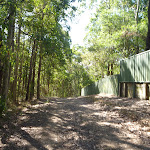
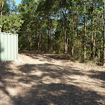
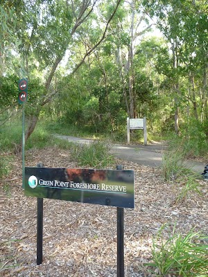
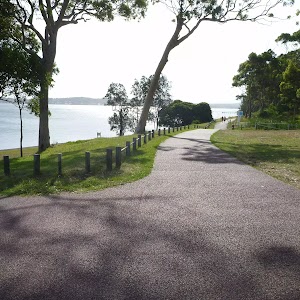
Green Point Reserve Entrance (Dilkera Avenue, Valentine)
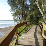
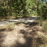
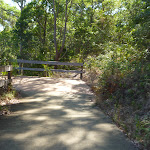
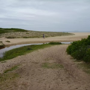
(0km) Int of Foreshore Track & Dilkera Ave Reserve Entrance → Rockyhigh Viewpoint

210 m
4 mins
7m
-8m
Moderate track
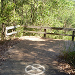
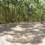
(0.21km) Rockyhigh Viewpoint → Int of Fore Shore AND Short Cut Tracks
120 m
2 mins
1m
-6m
Moderate track
(0.32km) Int of Fore Shore & Short Cut Tracks → Int of Fore Shore & Coast Tracks
90 m
2 mins
5m
-1m
Moderate track
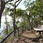
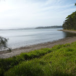
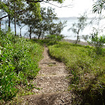
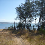
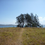
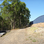
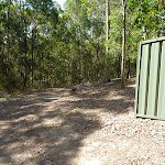
(0.41km) Int of Fore Shore & Coast Tracks → Green Point
630 m
13 mins
15m
-22m
Hard track
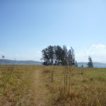
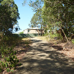
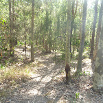
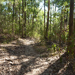
Turn right: From the intersection[35], this walk follows the track towards Green Point[36] (and the water), while leaving the forest[37] directly behind you. This walk continues for about 60m, passing across grasslands[38] and towards a small clump of She Oak trees[39], until coming to the lake edge[40] and Green Point.
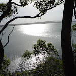
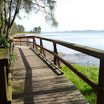
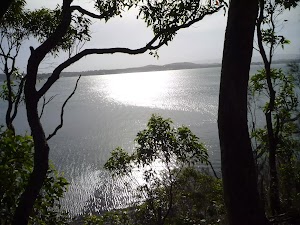
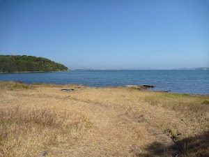
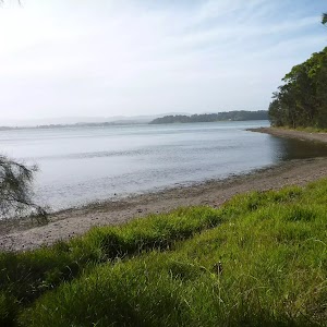
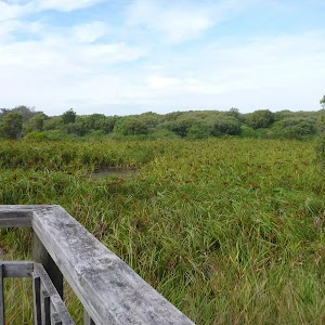
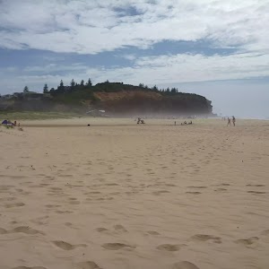
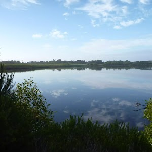
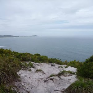
Green Point (on Lake Macquarie)
(1.04km) Green Point → Int of Green Point AND Zig Zag Tracks
250 m
5 mins
12m
-3m
Moderate track
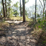
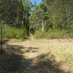
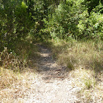
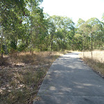
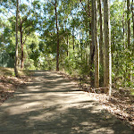
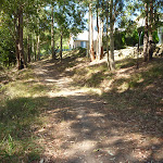
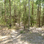
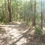
Continue straight: From the intersection[49], this walk follows the track gently uphill into forest[50][51] and leaving Green Point directly behind you. This walk continues through forest[52] for about 160m, until coming to a three-way intersection[53] with a concrete footpath and ‘Walk Safe/Cycle Safe’ sign[54] (on the right).
(1.29km) Int of Green Point & Zig Zag Tracks → Int of Green Point Track & Leichhardt Trail
840 m
18 mins
44m
-13m
Moderate track
(2.13km) Int of Green Point Track & Leichhardt Trai → Int of Leichhardt Trail & Upper Leichhardt Track
380 m
8 mins
24m
-7m
Easy track
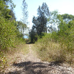
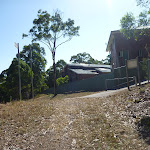
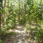
Continue straight: From this intersection[70], this walk follows the trail, while keeping houses[71] on your right and the valley on your left. This walk continues, undulating for 300m, until coming to a three-way intersection[72] (as the trail turns left), with a gently uphill track into houses (on the right).
(2.52km) Int of Leichhardt Trail & Upper Leichhardt Track → Int of Leichhardt Trail & Roma Track
440 m
9 mins
6m
-31m
Moderate track
(2.95km) Int of Leichhardt Trail & Roma Track → Int of Leichhardt Trail & Coast Track
130 m
3 mins
8m
-7m
Easy track
(3.08km) Int of Leichhardt Trail & Coast Track → Int of Fore Shore and Coast Tracks
300 m
6 mins
3m
-30m
Hard track
(3.38km) Int of Fore Shore & Coast Tracks → Int of Fore Shore & Short Cut Tracks
90 m
2 mins
1m
-5m
Moderate track
(3.47km) Int of Fore Shore & Short Cut Tracks → Int of Foreshore Track & Dilkera Ave Reserve Entrance
340 m
9 mins
19m
-13m
Moderate track
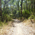
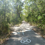
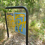
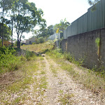
Turn left: From the intersection[110], this walk follows the footpath gently downhill, while keeping the ‘steep bike riding’ sign[111][112] and track initially on the left. This walk continues through forest for about 140m (with houses[113] on the right), until coming to a three-way intersection[114] with a track and ‘Welcome to Green Point Fore Shore Reserve’ sign[115][116] (on the left).
(3.47km) Int of Fore Shore AND Short Cut Tracks → Rockyhigh Viewpoint
120 m
2 mins
6m
-1m
Moderate track
(3.59km) Rockyhigh Viewpoint → Int of Foreshore Track & Dilkera Ave Reserve Entrance
210 m
4 mins
8m
-7m
Moderate track
Maps for the Northern Green Point Circuit walk
You can download the PDF for this walk to print a map.These maps below cover the walk and the wider area around the walk, they are worth carrying for safety reasons.
| Swansea | 1:25 000 Map Series | 92314N SWANSEA | NSW-92314N |
| Lake Macquarie | 1:100 000 Map Series | 9231 LAKE MACQUARIE | 9231 |
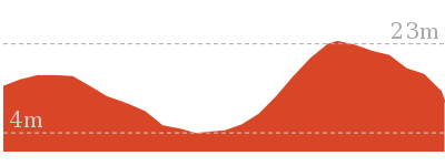
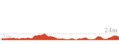
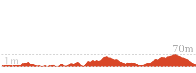
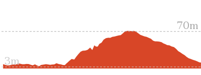
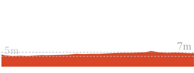
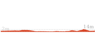
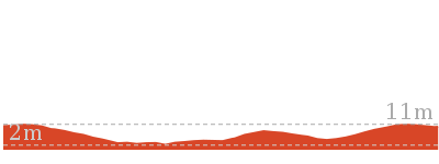
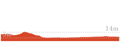
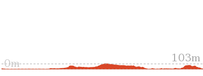
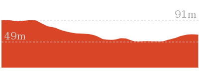
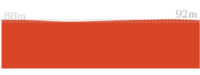
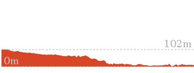
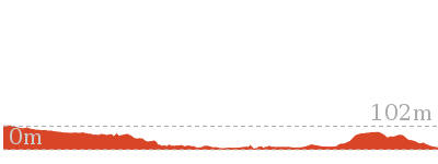
Cross sectional view of the Northern Green Point Circuit bushwalking track
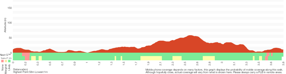
Analysis and summary of the altitude variation on the Northern Green Point Circuit
Overview of this walks grade – based on the AS 2156.1 – 2001
Under this standard, a walk is graded based on the most difficult section of the walk.
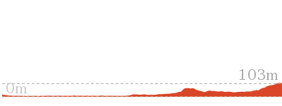
| Length | 3.8 km | ||
| Time | 1 hr 30 mins | ||
| . | |||
| Grade 4/6 Hard track |
AS 2156.1 | Gradient | Short steep hills (3/6) |
| Quality of track | Formed track, with some branches and other obstacles (3/6) | ||
| Signs | Minimal directional signs (4/6) | ||
| Experience Required | Some bushwalking experience recommended (3/6) | ||
| Weather | Weather generally has little impact on safety (1/6) | ||
| Infrastructure | Limited facilities (such as cliffs not fenced, significant creeks not bridged) (4/6) |
Some more details of this walks Grading
Here is a bit more details explaining grading looking at sections of the walk
Gradient
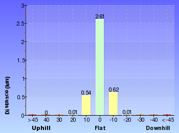
2.8km of this walk has short steep hills and another 690m has gentle hills with occasional steps. The remaining (340m) is flat with no steps.
Quality of track
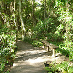
1.7km of this walk follows a formed track, with some branches and other obstacles and another 1.2km follows a clear and well formed track or trail. The remaining (920m) follows a smooth and hardened path.
Signs
1.8km of this walk is clearly signposted and another 1.2km has directional signs at most intersection. The remaining (850m) has minimal directional signs.
Experience Required
Around 3.5km of this walk requires no previous bushwalking experience, whilst the remaining 300m requires some bushwalking experience.
weather
This whole walk, 3.8km is not usually affected by severe weather events (that would unexpectedly impact safety and navigation).
Infrastructure
2.5km of this walk is close to useful facilities (such as fenced cliffs and seats) and another 950m has limited facilities (such as not all cliffs fenced). The remaining (300m) has limited facilities (such as cliffs not fenced, significant creeks not bridged).
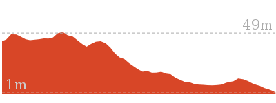
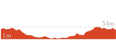
Similar walks
666 m Circuit
30 mins
Moderate track
2.4 km Return
1 Hr
Moderate track
2.9 km One way
1 hr 15 mins
Hard track

3 km Return
1 hr 15 mins
Moderate track
3.4 km Circuit
2 hrs 45 mins
Moderate track
7.7 km Circuit
3 hrs
Hard track
Other Nearby walks
2.4 km Circuit
1 Hr
Moderate track
1.3 km Return
30 mins
Very easy
3.2 km Circuit
1 Hr
Hard track
1.2 km Circuit
30 mins
Hard track
2.4 km Return
1 Hr
Very easy
3.2 km Return
1 Hr
Moderate track
13.3 km One way
4 hrs 30 mins
Moderate track
25.7 km One way
2 Days
Hard track
1.9 km One way
45 mins
Hard track
948 m Return
30 mins
Hard track
7.9 km One way
2 hrs 45 mins
Hard track
12.1 km One way
5 hrs 30 mins
Hard track
Plan your trip to and from the walk here
The Northern Green Point Circuit walk starts and ends at the Int of Foreshore Track & Dilkera Ave Reserve Entrance (gps: -33.013892, 151.62875)Your transport options to Int of Foreshore Track & Dilkera Ave Reserve Entrance are by;
(get details)


Short URL = http://wild.tl/ngpc
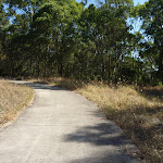
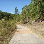
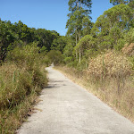
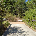
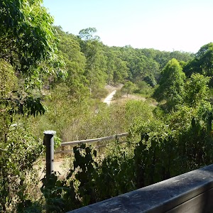
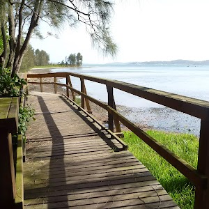
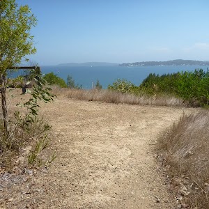
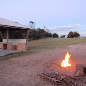
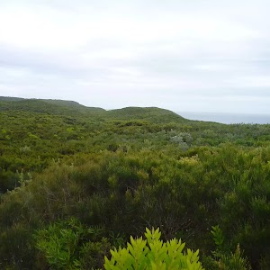
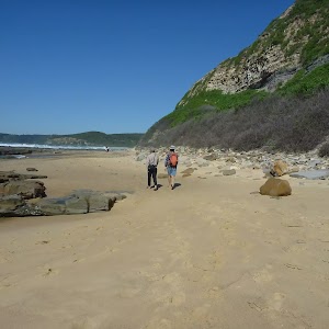
Gallery images
There are other downloads I am still working on.
You will probably need to login to access these — still all free.
* KML (google earth file)
* GPX (GPS file)
Special Maps/ brochures
* A3 topo maps
* PDF with Lands Topo map base
* PDF with arial image (and map overlay)
I wanted to get the main site live first, this extra stuff will come in time.
Happy walking
Matt 🙂
Comments