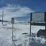
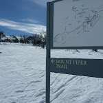
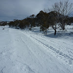
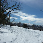
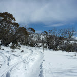
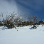
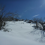
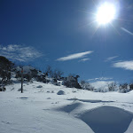
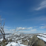
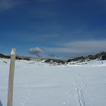
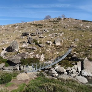
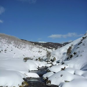
Mount Piper Trail


2 hrs 45 mins

167 m
Hard track


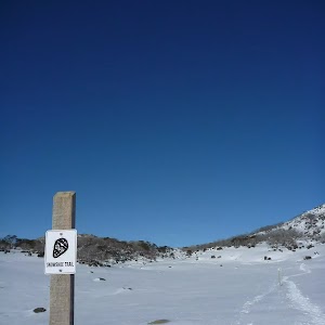
Winter only route
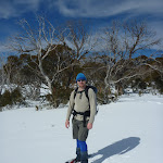
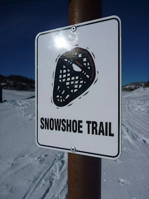
Share the Snow
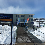
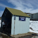
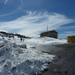
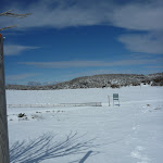
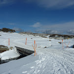
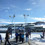
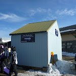
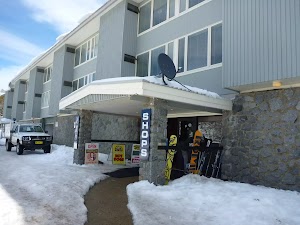
Smiggins Centre
(0km) Smiggins Centre → Smiggins Gate on Link Rd

350 m
7 mins
15m
0m
Easy track
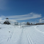
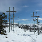
(0.35km) Smiggins Gate on Link Rd → Powerline terminus
600 m
11 mins
21m
0m
Moderate track
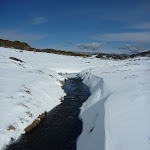
(0.94km) Powerline terminus → Perisher Creek Valley View
1.8 km
40 mins
99m
-57m
Hard track
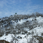
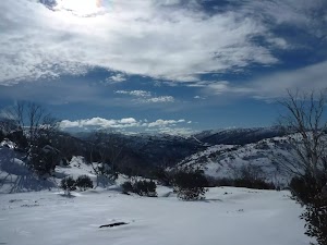
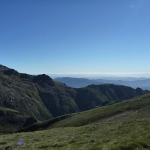
Perisher Creek Valley View
(2.74km) Perisher Creek Valley View → Interceptor bridge intersection
1.3 km
24 mins
15m
-69m
Hard track
(4.02km) Interceptor bridge intersection → Bridge on Blue Cow Link Rd
630 m
11 mins
10m
-4m
Moderate track
(4.65km) Bridge on Blue Cow Link Rd → Perisher Valley Skitube
550 m
9 mins
7m
-2m
Easy track
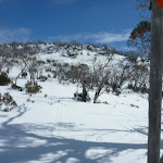
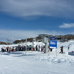
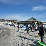
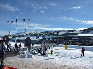
Perisher Valley Village
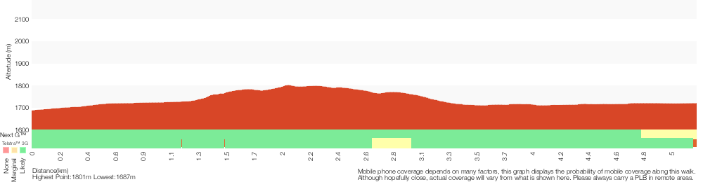
Maps for the Mount Piper Trail walk
You can download the PDF for this walk to print a map.These maps below cover the walk and the wider area around the walk, they are worth carrying for safety reasons.
| Perisher Valley | 1:25 000 Map Series | 85252S PERISHER VALLEY | NSW-85252S |
| Kosciuszko | 1:100 000 Map Series | 8525 KOSCIUSZKO | 8525 |
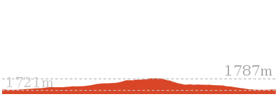
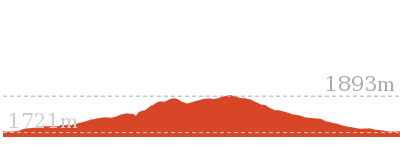
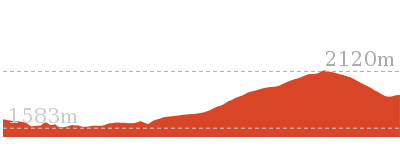
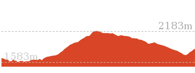
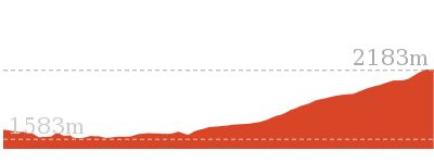
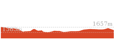
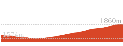
Cross sectional view of the Mount Piper Trail bushwalking track
Analysis and summary of the altitude variation on the Mount Piper Trail
Overview of this walks grade – based on the AS 2156.1 – 2001
Under this standard, a walk is graded based on the most difficult section of the walk.
| Length | 5.2 km | ||
| Time | 2 hrs 45 mins | ||
| . | |||
| Grade 4/6 Hard track |
AS 2156.1 | Gradient | Short steep hills (3/6) |
| Quality of track | Formed track, with some branches and other obstacles (3/6) | ||
| Signs | Directional signs along the way (3/6) | ||
| Experience Required | Moderate level of bushwalking experience recommended (4/6) | ||
| Weather | Forecast, unforecast storms and severe weather may impact on navigation and safety (4/6) | ||
| Infrastructure | Limited facilities, not all cliffs are fenced (3/6) |
Some more details of this walks Grading
Here is a bit more details explaining grading looking at sections of the walk
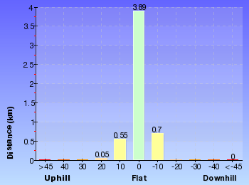
Gradient
Around 3.7km of this walk has short steep hills, whilst the remaining 1.5km has gentle hills with occasional steps.
Quality of track
Around 4.3km of this walk follows a formed track, with some branches and other obstacles, whilst the remaining 900m follows a smooth and hardened path.
Signs
Around 4.3km of this walk has directional signs at most intersection, whilst the remaining 900m is clearly signposted.
Experience Required
2.5km of this walk requires some bushwalking experience and another 1.8km requires a leader a with moderate level of bushwalking experience. The remaining (900m) requires no previous bushwalking experience.
weather
3.1km of this walk is affected by forecast, unforecast storms and severe weather events that may impact on navigation and safety and another 1.2km is affected by storms that may impact your navigation and safety. The remaining (900m) is not usually affected by severe weather events (that would unexpectedly impact safety and navigation).
Infrastructure
Around 4.3km of this walk has limited facilities (such as not all cliffs fenced), whilst the remaining 900m is close to useful facilities (such as fenced cliffs and seats).
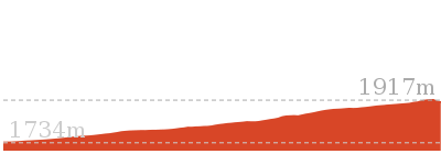
Similar walks
Other Nearby walks
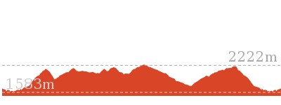
3 km Circuit
1 hr 30 mins
Moderate track
7.3 km Circuit
3 hrs
Hard track

5.6 km Return
2 hrs 30 mins
Hard track
17.4 km Return
8 hrs
Experienced only
25.8 km One way
2 Days
Experienced only
15.2 km One way
6 hrs 30 mins
Experienced only
6.4 km Return
2 hrs 45 mins
Moderate track

14.8 km Return
6 hrs 45 mins
Experienced only
6.4 km Return
2 hrs 30 mins
Moderate track
45 km Circuit
4 Days
Experienced only
3.3 km Return
1 hr 30 mins
Hard track

6 km Return
3 hrs
Very experienced only
Plan your trip to and from the walk here
The Mount Piper Trail walk starts at the Smiggins Centre (gps: -36.392497, 148.42732)Your main transport option to Smiggins Centre is by;
(get details)
The Mount Piper Trail ends at the Perisher Valley Skitube (gps: -36.404907, 148.41227)
Your main transport option to Perisher Valley Skitube is by;
(get details)


Short URL = http://wild.tl/mpt
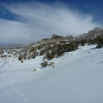
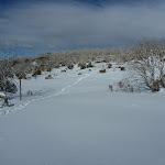
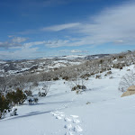
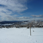
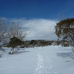
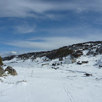
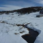
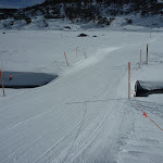
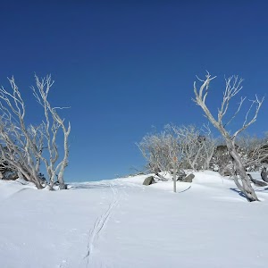
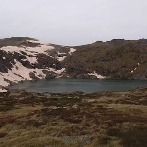
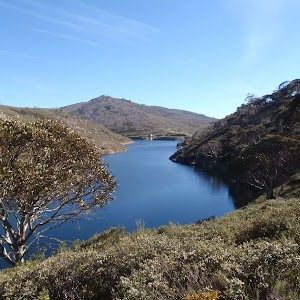
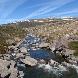
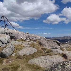
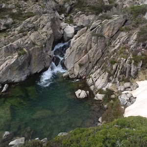
Gallery images
There are other downloads I am still working on.
You will probably need to login to access these — still all free.
* KML (google earth file)
* GPX (GPS file)
Special Maps/ brochures
* A3 topo maps
* PDF with Lands Topo map base
* PDF with arial image (and map overlay)
I wanted to get the main site live first, this extra stuff will come in time.
Happy walking
Matt 🙂
Comments