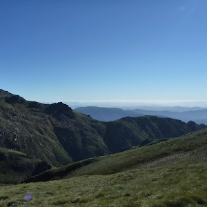
Old Geehi Hut tour


2 hrs

82 m
Hard track


Snow & Ice on walk

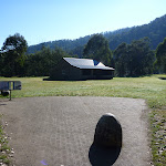
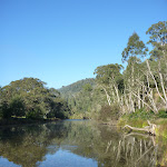
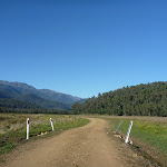
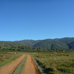
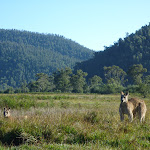
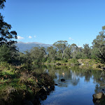
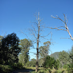
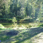
Geehi Picnic Camping Ground
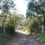
(0km) Geehi Hut car park → Geehi Hut

70 m
1 mins
0m
-3m
Easy track
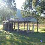
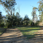
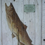
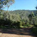
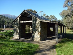
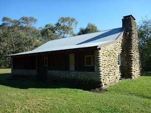
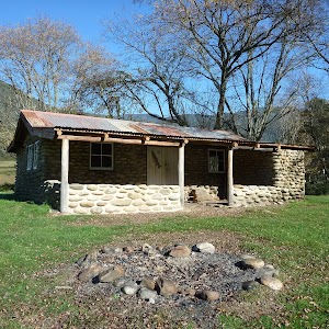
Geehi Hut
(0km) Geehi Hut car park → Int of Swampy Plain and Bicentennial Trails
190 m
3 mins
5m
-5m
Hard track
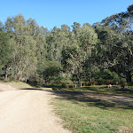
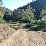
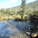
Continue straight: From the intersection, this walk crosses the rocky ford Swamp Plain River crossing[14][15]. This river is impassable after rain or snow melt, take care not to cross when the river is too high or too fast. Once on the other bank, this walk heads through the gate[16] (locked to vehicles in wet conditions) and comes to a clear, three-way intersection with another 4WD trail[17] (on your left).
(0.19km) Geehi Rest Area Entrance → Int of Swampy Plain and Bicentennial Trails
1.2 km
23 mins
37m
-40m
Hard track
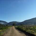
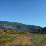
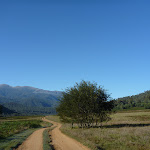
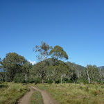
Turn right: From the western side of Geehi Bridge[23], this walk follows the 4WD trail off the main road, down the short hill[24] and along the side of Swampy Plain River (keeping the river to your right). The walk soon passes a short side trail[25] (on your right, that leads down to the river[26]), continuing instead parallel to the river along the clear trail through the trees[27]. The trail soon passes a ‘To Behrs Flat – 4 wheel drive – Dry weather only’ sign[28] and continues through the forest for about 400m to a large turning circle[29] (on your right), just before a gate[30] (locked to vehicles in wet conditions). From this turning area, this walk continues along the trail steeply uphill[31], through the gate. As the trail reaches the high point, there are good views down to Swampy Plain River and across Geehi Flats[32]. The trail then leads down the hill to a three-way intersection[33] with the Bicentennial National Trail at Behrs Flat (to your left[34]) and a gate[35] and creek crossing (to your right). Now Veer left to rejoin the main walk .
(0.19km) Int of Swampy Plain and Bicentennial Trails → Keebles Loop intersection
60 m
1 mins
1m
-1m
Moderate track
(0.25km) Keebles Loop intersection → Int south of Keebles Hut
790 m
12 mins
1m
-10m
Hard track
(1.04km) Int south of Keebles Hut → Keebles Hut
160 m
3 mins
0m
-3m
Moderate track
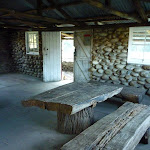
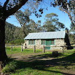
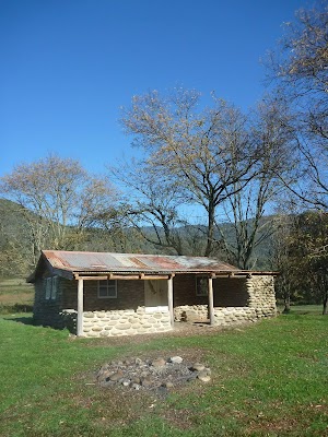
Keebles Hut
(1.04km) Int south of Keebles Hut → South side of Swampy Plains River
1.1 km
18 mins
13m
-21m
Hard track
(2.09km) South side of Swampy Plains River → Int east of Old Geehi Hut
360 m
7 mins
12m
-2m
Hard track
(2.45km) Int east of Old Geehi Hut → Old Geehi Hut
280 m
5 mins
0m
-11m
Moderate track
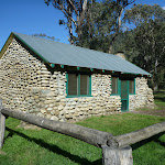
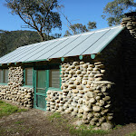
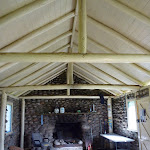
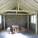
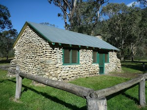
Old Geehi Hut
Maps for the Old Geehi Hut tour walk
You can download the PDF for this walk to print a map.These maps below cover the walk and the wider area around the walk, they are worth carrying for safety reasons.
| Kalkite Mountain | 1:25 000 Map Series | 86253N KALKITE MOUNTAIN | NSW-86253N |
| Tombong | 1:50 000 Map Series | 8624S TOMBONG | NSW-8624S |
| Numbla Vale | 1:50 000 Map Series | 8624N NUMBLA VALE | NSW-8624N |
| Youngal | 1:25 000 Map Series | 85253S YOUNGAL | NSW-85253S |
| Scammells Lookout | 1:25 000 Map Series | 85253N SCAMMELLS LOOKOUT | NSW-85253N |
| Berridale | 1:100 000 Map Series | 8625 BERRIDALE | 8625 |
| Kosciuszko | 1:100 000 Map Series | 8525 KOSCIUSZKO | 8525 |
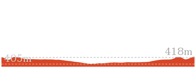
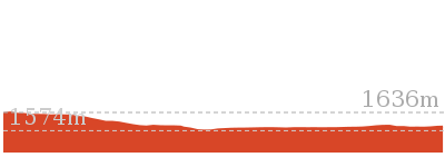
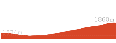
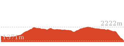
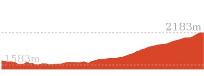
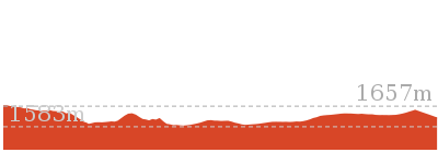
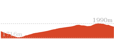
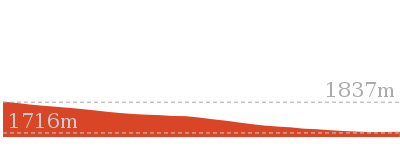
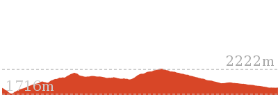
Cross sectional view of the Old Geehi Hut tour bushwalking track
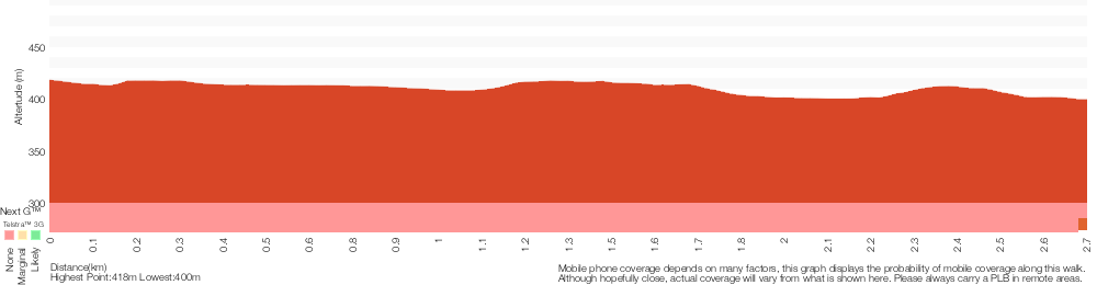
Analysis and summary of the altitude variation on the Old Geehi Hut tour
Overview of this walks grade – based on the AS 2156.1 – 2001
Under this standard, a walk is graded based on the most difficult section of the walk.
| Length | 5.5 km | ||
| Time | 2 hrs | ||
| . | |||
| Grade 4/6 Hard track |
AS 2156.1 | Gradient | Short steep hills (3/6) |
| Quality of track | Rough track, where fallen trees and other obstacles are likely (4/6) | ||
| Signs | Minimal directional signs (4/6) | ||
| Experience Required | Moderate level of bushwalking experience recommended (4/6) | ||
| Weather | Forecast, unforecast storms and severe weather may impact on navigation and safety (4/6) | ||
| Infrastructure | Limited facilities (such as cliffs not fenced, significant creeks not bridged) (4/6) |
Some more details of this walks Grading
Here is a bit more details explaining grading looking at sections of the walk
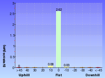
Gradient
1.4km of this walk has short steep hills and another 850m is flat with no steps. The remaining (470m) has gentle hills with occasional steps.
Quality of track
2.3km of this walk follows a clear and well formed track or trail and another 360m follows a formed track, with some branches and other obstacles. The remaining (110m) follows a rough track, where fallen trees and other obstacles are likely.
Signs
2.3km of this walk has minimal directional signs and another 360m is clearly signposted. The remaining (60m) has directional signs at most intersection.
Experience Required
1.9km of this walk requires some bushwalking experience and another 470m requires a leader a with moderate level of bushwalking experience. The remaining (360m) requires no previous bushwalking experience.
weather
2.5km of this walk is affected by storms that may impact your navigation and safety and another 110m is affected by forecast, unforecast storms and severe weather events that may impact on navigation and safety. The remaining (85m) is not usually affected by severe weather events (that would unexpectedly impact safety and navigation).
Infrastructure
1.9km of this walk has limited facilities (such as not all cliffs fenced) and another 470m has limited facilities (such as cliffs not fenced, significant creeks not bridged). The remaining (360m) is close to useful facilities (such as fenced cliffs and seats).
Similar walks
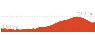
2.6 km Circuit
1 Hr
Hard track
Other Nearby walks
3.3 km Return
1 hr 30 mins
Hard track

6 km Return
3 hrs
Very experienced only
17.4 km Return
8 hrs
Experienced only
25.8 km One way
2 Days
Experienced only
15.2 km One way
6 hrs 30 mins
Experienced only
6.4 km Return
2 hrs 45 mins
Moderate track

14.8 km Return
6 hrs 45 mins
Experienced only
6.4 km Return
2 hrs 30 mins
Moderate track
45 km Circuit
4 Days
Experienced only
9.3 km Return
4 hrs
Hard track
1.6 km Return
45 mins
Hard track
21.9 km Circuit
9 hrs
Hard track
Plan your trip to and from the walk here
The Old Geehi Hut tour walk starts and ends at the Geehi Hut car park (gps: -36.378036, 148.17949)Your main transport option to Geehi Hut car park is by;
(get details)


Short URL = http://wild.tl/oght
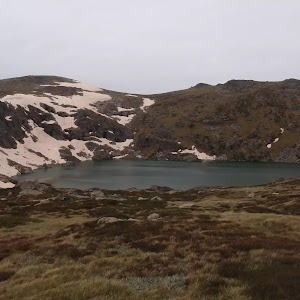
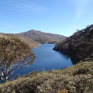
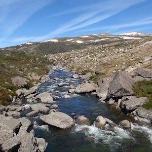
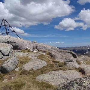
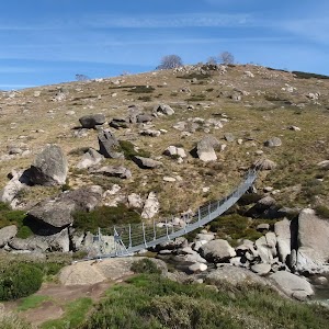
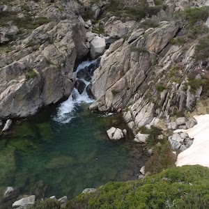
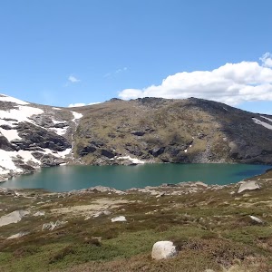
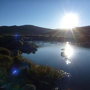
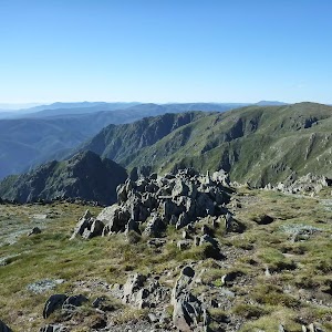
Gallery images
There are other downloads I am still working on.
You will probably need to login to access these — still all free.
* KML (google earth file)
* GPX (GPS file)
Special Maps/ brochures
* A3 topo maps
* PDF with Lands Topo map base
* PDF with arial image (and map overlay)
I wanted to get the main site live first, this extra stuff will come in time.
Happy walking
Matt 🙂
Comments