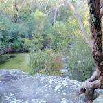
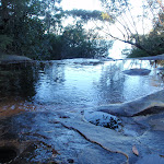
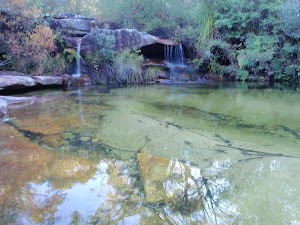
Lovetts Pools


1 hr 15 mins

75 m
Hard track
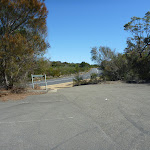


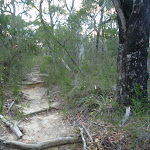


(0km) Elvina Track carpark → Int of Elvina and Engravings Tracks

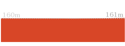
160 m
3 mins
0m
-1m
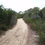
Easy track
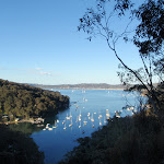
(0.16km) Int of Elvina and Engravings Tracks → Rock Platform
90 m
2 mins
2m
0m
Moderate track
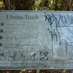
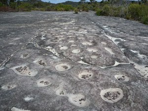
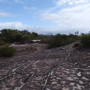
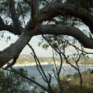
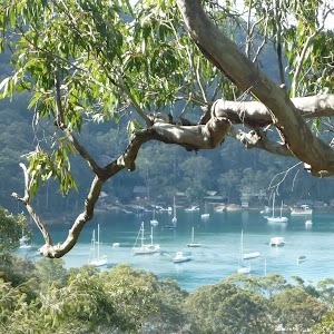
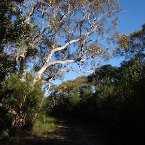
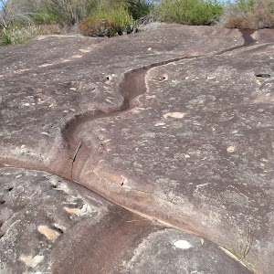
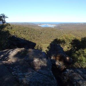
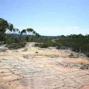
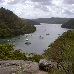
Aboriginal Engraving Rock Platform
(0.16km) Int of Elvina and Engravings Tracks → Int of Elvina and Fredericks Tracks
130 m
2 mins
0m
-2m
Easy track
(0.29km) Int of Elvina and Fredericks Tracks → Int of Fredericks and Lovetts Pool Tracks
1.1 km
22 mins
0m
-59m
Hard track
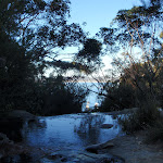
(1.35km) Int of Fredericks and Lovetts Pool Tracks → Lovett Pools
170 m
4 mins
7m
-6m
Hard track
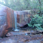
Lovett Pools
Maps for the Lovetts Pools walk
You can download the PDF for this walk to print a map.These maps below cover the walk and the wider area around the walk, they are worth carrying for safety reasons.
| Mona Vale | 1:25 000 Map Series | 91301S MONA VALE | NSW-91301S |
| Ku-ring-gai Chase National Park Tourist Map | 1:40 000 Map Series | CMA Ku-ring-gai Chase National Park Tourist Map | CMA Ku-ring-gai Chase National Park Tourist Map |
| Sydney | 1:100 000 Map Series | 9130 SYDNEY | 9130 |
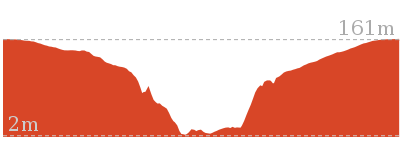
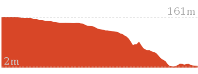
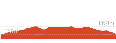
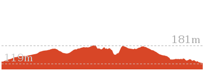
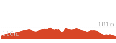
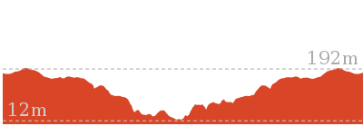
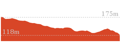
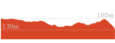
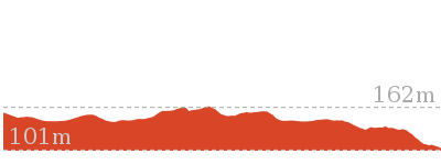
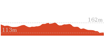
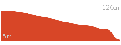
Cross sectional view of the Lovetts Pools bushwalking track
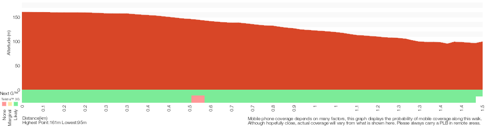
Analysis and summary of the altitude variation on the Lovetts Pools
Overview of this walks grade – based on the AS 2156.1 – 2001
Under this standard, a walk is graded based on the most difficult section of the walk.
| Length | 3 km | ||
| Time | 1 hr 15 mins | ||
| . | |||
| Grade 4/6 Hard track |
AS 2156.1 | Gradient | Gentle hills with occasional steps (2/6) |
| Quality of track | Rough track, where fallen trees and other obstacles are likely (4/6) | ||
| Signs | Minimal directional signs (4/6) | ||
| Experience Required | Some bushwalking experience recommended (3/6) | ||
| Weather | Storms may impact on navigation and safety (3/6) | ||
| Infrastructure | Limited facilities (such as cliffs not fenced, significant creeks not bridged) (4/6) |
Some more details of this walks Grading
Here is a bit more details explaining grading looking at sections of the walk
Gradient
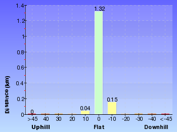
This whole walk, 1.5km has gentle hills with occasional steps.
Quality of track
1.1km of this walk follows a rough track, where fallen trees and other obstacles are likely and another 290m follows a clear and well formed track or trail. The remaining (170m) follows a formed track, with some branches and other obstacles.
Signs
Around 1.2km of this walk has minimal directional signs, whilst the remaining 290m is clearly signposted.
Experience Required
Around 1.2km of this walk requires some bushwalking experience, whilst the remaining 290m requires no previous bushwalking experience.
weather
Around 1.4km of this walk is not usually affected by severe weather events (that would unexpectedly impact safety and navigation), whilst the remaining 170m is affected by storms that may impact your navigation and safety.
Infrastructure
1.1km of this walk has limited facilities (such as cliffs not fenced, significant creeks not bridged) and another 290m is close to useful facilities (such as fenced cliffs and seats). The remaining (170m) has limited facilities (such as not all cliffs fenced).
Similar walks
508 m Return
15 mins
Moderate track
4.5 km Circuit
2 hrs 30 mins
Hard track
4.8 km Return
2 hrs
Moderate track
Other Nearby walks
4 km Circuit
1 hr 30 mins
Moderate track
9.9 km Return
3 hrs 30 mins
Hard track
8.4 km Circuit
4 hrs
Moderate track
1.4 km Return
40 mins
Moderate track
3.8 km Return
1 hr 30 mins
Moderate track
6.7 km Return
2 hrs 30 mins
Moderate track
7.6 km Return
3 hrs
Moderate track
6.8 km Return
2 hrs 30 mins
Moderate track
2.2 km Return
1 hr 15 mins
Hard track
1.9 km Return
45 mins
Moderate track

2.4 km Return
1 Hr
Hard track
Plan your trip to and from the walk here
The Lovetts Pools walk starts and ends at the Elvina Track carpark (gps: -33.643268, 151.26214)Your main transport option to Elvina Track carpark is by;
(get details)


Short URL = http://wild.tl/u
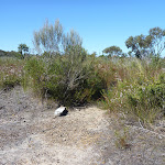
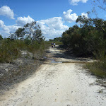
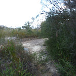
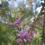
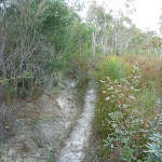
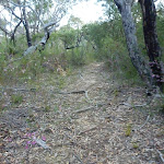
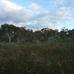
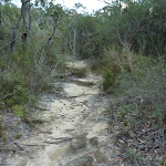
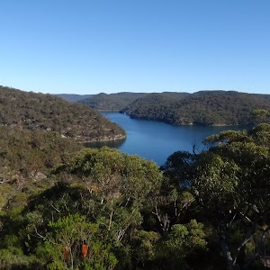
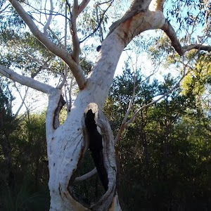
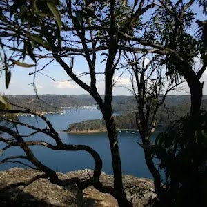
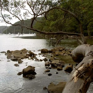
Gallery images
There are other downloads I am still working on.
You will probably need to login to access these — still all free.
* KML (google earth file)
* GPX (GPS file)
Special Maps/ brochures
* A3 topo maps
* PDF with Lands Topo map base
* PDF with arial image (and map overlay)
I wanted to get the main site live first, this extra stuff will come in time.
Happy walking
Matt 🙂
Comments