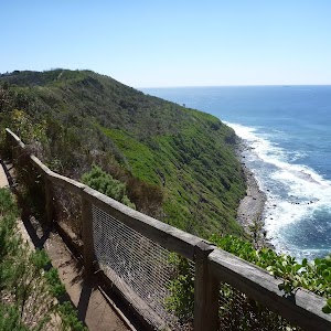
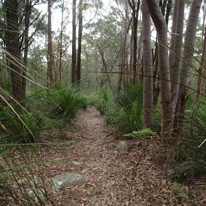
Wyrrabalong Shoreline walk


2 hrs

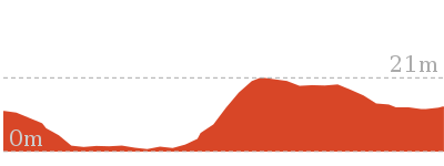
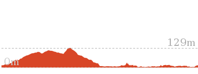
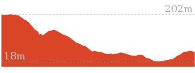
183 m
Experienced only

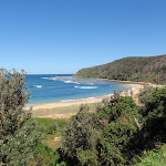


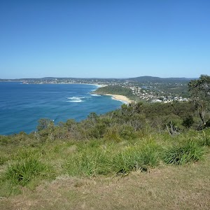
Bateau Bay Beach picnic area and lookout
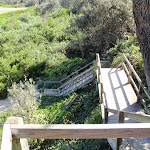
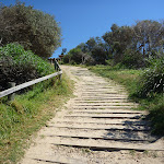
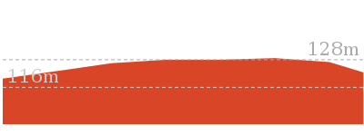
(0km) Top of northern Bateau Bay Beach access steps → Bottom of northern Bateau Bay Beach access track

110 m
2 mins
0m
-6m
Moderate track
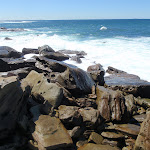
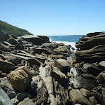
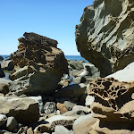
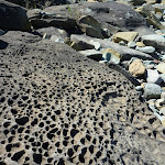
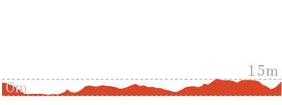
(0.11km) Bottom of northern Bateau Bay Beach access track → Crackneck rockshelf
1.1 km
21 mins
31m
-29m
Experienced only
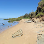
Turn left: From the bottom of the southern Bateau Bay[3] Beach access track (beside the concrete management trail), this walk goes south across the sand, keeping the ocean to the left. After a very short distance, the walk arrives at the southern edge of Bateau Bay Beach[4], with a much narrower strip of sand continuing south.
Continue straight: From the southern end of Bateau Bay Beach, this walk goes south, along the narrow strip of sand, keeping the ocean to the left. The walk passes a concrete stormwater outlet (to the right) and a short distance later reaches the end of the sandy strip, with some mangrove trees to the left.
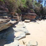
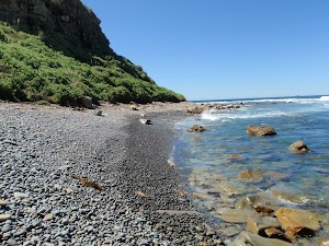
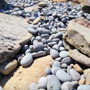
Continue straight: From the end of the narrow beach strip, this walk passes some mangrove trees, to the left, and follows the sandy track south, keeping the ocean to the left. After a short distance, the walk reaches the end of the sandy track, at the rockshelf.
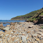
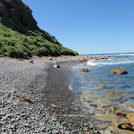
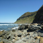
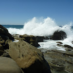
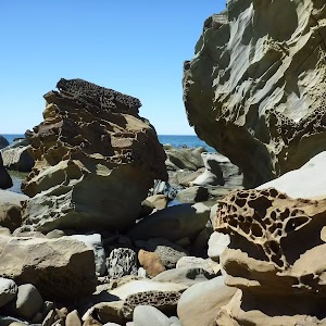
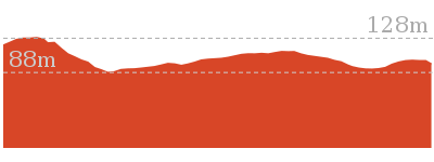
(1.24km) Crackneck rockshelf → Crackneck beach
470 m
9 mins
18m
-15m
Experienced only
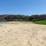
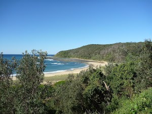
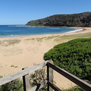
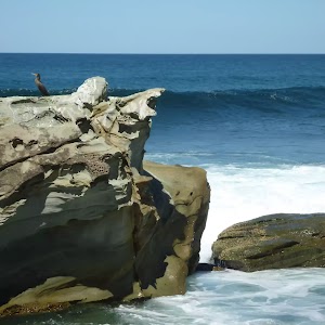
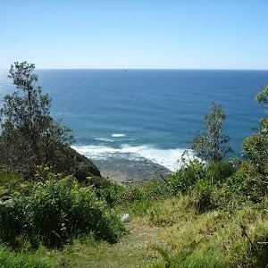
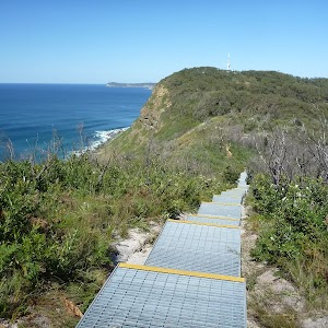
Crackneck Beach
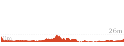
(1.71km) Crackneck beach → Bottom of Henrys Rd beach access
2.8 km
1 Hr
116m
-120m
Experienced only
Continue straight: From the northern end of Forresters Beach, this walk goes south along the beach, keeping the ocean to the left. After a while, the walk reaches the bottom of the Henrys Rd beach access trail, marked by a sign indicating dogs are allowed to the south but not to the north.
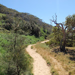
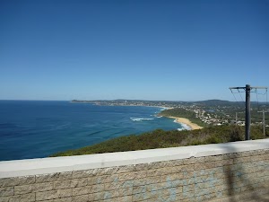
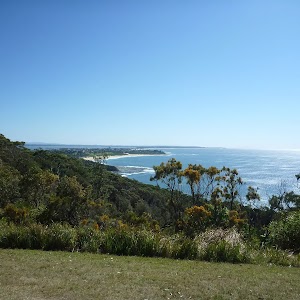
Forresters Beach
(4.53km) Bottom of Henrys Rd beach access → Int of South Scenic Rd and Henrys Rd
80 m
2 mins
18m
0m
Moderate track
Maps for the Wyrrabalong Shoreline walk walk
You can download the PDF for this walk to print a map.These maps below cover the walk and the wider area around the walk, they are worth carrying for safety reasons.
| Gosford | 1:25 000 Map Series | 91312S GOSFORD | NSW-91312S |
| Gosford | 1:100 000 Map Series | 9131 GOSFORD | 9131 |
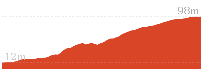
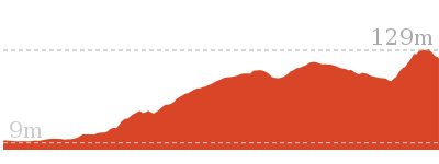
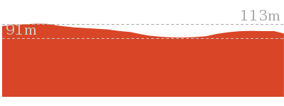
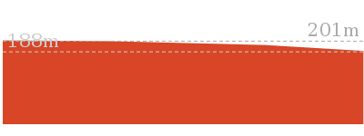
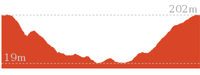
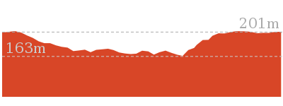
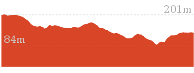
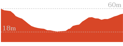
Cross sectional view of the Wyrrabalong Shoreline walk bushwalking track
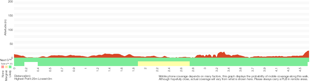
Analysis and summary of the altitude variation on the Wyrrabalong Shoreline walk
Overview of this walks grade – based on the AS 2156.1 – 2001
Under this standard, a walk is graded based on the most difficult section of the walk.
| Length | 4.6 km | ||
| Time | 2 hrs | ||
| . | |||
| Grade 5/6 Experienced only |
AS 2156.1 | Gradient | Short steep hills (3/6) |
| Quality of track | Rough unclear track (5/6) | ||
| Signs | Minimal directional signs (4/6) | ||
| Experience Required | Moderate level of bushwalking experience recommended (4/6) | ||
| Weather | Forecast, unforecast storms and severe weather may impact on navigation and safety (4/6) | ||
| Infrastructure | No facilities provided (5/6) |
Some more details of this walks Grading
Here is a bit more details explaining grading looking at sections of the walk
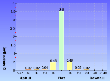
Gradient
2.7km of this walk has short steep hills and another 1.1km has gentle hills with occasional steps. The remaining (800m) is flat with no steps.
Quality of track
2.9km of this walk follows a rough unclear track and another 1.5km follows a rough track, where fallen trees and other obstacles are likely. The remaining (190m) follows a clear and well formed track or trail.
Signs
Around 4.4km of this walk has minimal directional signs, whilst the remaining 190m has directional signs at most intersection.
Experience Required
Around 2.5km of this walk requires a leader a with moderate level of bushwalking experience, whilst the remaining 2.1km requires some bushwalking experience.
weather
2.5km of this walk is affected by forecast, unforecast storms and severe weather events that may impact on navigation and safety and another 1.4km is not usually affected by severe weather events (that would unexpectedly impact safety and navigation). The remaining (710m) is affected by storms that may impact your navigation and safety.
Infrastructure
2km of this walk has no facilities provided and another 1.6km has limited facilities (such as cliffs not fenced, significant creeks not bridged). Whilst another 910m has limited facilities (such as not all cliffs fenced) and the remaining 80m is close to useful facilities (such as fenced cliffs and seats).
Similar walks
892 m Circuit
30 mins
Hard track
3.4 km Return
1 hr 15 mins
Experienced only
5.8 km Return
2 hrs 30 mins
Experienced only
9.1 km Circuit
3 hrs 30 mins
Experienced only
Other Nearby walks
1.7 km One way
1 hr 30 mins
Moderate track
3.8 km One way
1 hr 30 mins
Moderate track
646 m One way
15 mins
Moderate track
382 m Return
15 mins
Moderate track
1.6 km One way
45 mins
Moderate track

166 m Return
10 mins
Very easy
4.8 km Circuit
2 hrs 15 mins
Moderate track
2.9 km One way
1 hr 30 mins
Moderate track
1.2 km Circuit
45 mins
Moderate track
1.5 km One way
45 mins
Moderate track

4.1 km One way
2 hrs
Hard track

2 km Return
1 Hr
Moderate track
Plan your trip to and from the walk here
The Wyrrabalong Shoreline walk walk starts at the Top of northern Bateau Bay Beach access steps (gps: -33.382053, 151.48403)Your transport options to Top of northern Bateau Bay Beach access steps are by;
(get details)
The Wyrrabalong Shoreline walk ends at the Int of South Scenic Rd and Henrys Rd (gps: -33.41096, 151.46547)
Your transport options to Int of South Scenic Rd and Henrys Rd are by;
(get details)


Short URL = http://wild.tl/wsw
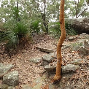
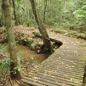
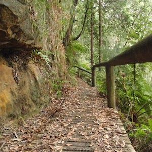
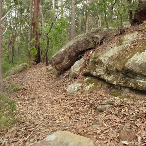
Gallery images
There are other downloads I am still working on.
You will probably need to login to access these — still all free.
* KML (google earth file)
* GPX (GPS file)
Special Maps/ brochures
* A3 topo maps
* PDF with Lands Topo map base
* PDF with arial image (and map overlay)
I wanted to get the main site live first, this extra stuff will come in time.
Happy walking
Matt 🙂
Comments