The Pinnacles Loop


30 mins

43 m
Moderate track
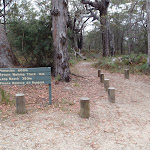


(0km) Pinnacles car park → Int. Pinnacles and Long Beach Trks

110 m
2 mins
0m
-9m
Moderate track
(0.11km) Int. Pinnacles and Long Beach Trks → Long Beach
240 m
6 mins
3m
-37m
Hard track
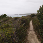
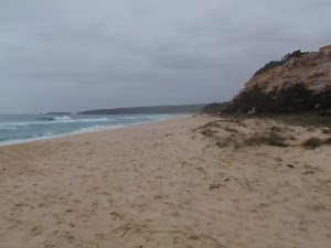
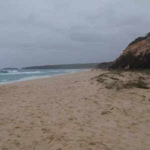
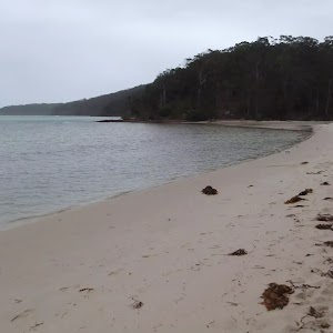
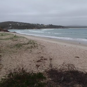
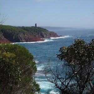
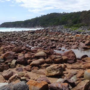
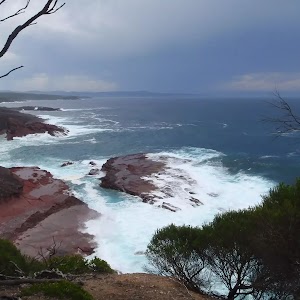
Long Beach
(0.11km) Int. Pinnacles and Long Beach Trks → Pinnacles Lookout
520 m
11 mins
19m
-29m
Moderate track
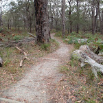
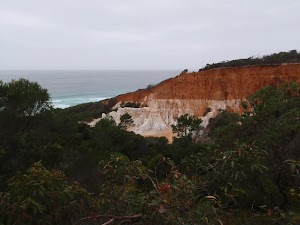
Veer right: From the small lookout, the walk heads through the bush, keeping the Pinnacles and the ocean behind to the left. The track soon reaches a larger wooden viewing area of the Pinnacles.
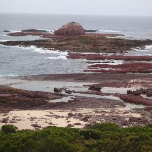
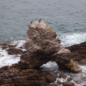
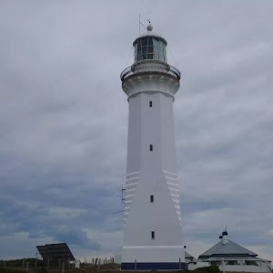
The Pinnacles
(0.63km) Pinnacles Lookout → Pinnacles car park
450 m
9 mins
24m
-6m
Moderate track
Maps for the The Pinnacles Loop walk
You can download the PDF for this walk to print a map.These maps below cover the walk and the wider area around the walk, they are worth carrying for safety reasons.
| Pambula | 1:25 000 Map Series | 88242S PAMBULA | NSW-88242S |
| Bega | 1:100 000 Map Series | 8824 BEGA | 8824 |
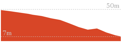
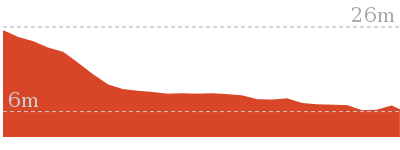
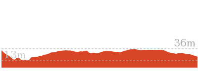
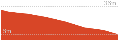
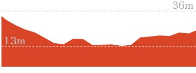
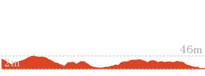
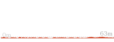
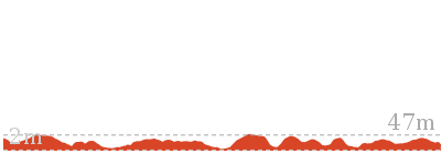
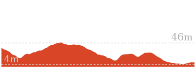
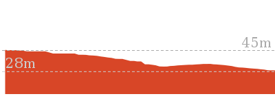
Cross sectional view of the The Pinnacles Loop bushwalking track
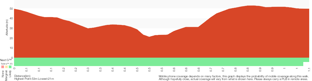
Analysis and summary of the altitude variation on the The Pinnacles Loop
Overview of this walks grade – based on the AS 2156.1 – 2001
Under this standard, a walk is graded based on the most difficult section of the walk.
| Length | 1.1 km | ||
| Time | 30 mins | ||
| . | |||
| Grade 3/6 Moderate track |
AS 2156.1 | Gradient | Short steep hills (3/6) |
| Quality of track | Formed track, with some branches and other obstacles (3/6) | ||
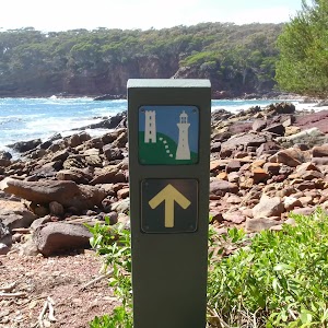
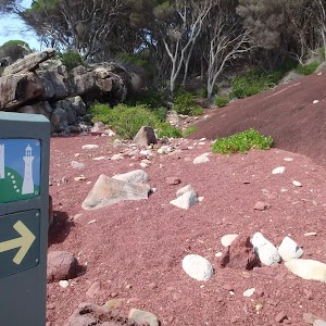
| Signs | Directional signs along the way (3/6) | ||
| Experience Required | No experience required (1/6) | ||
| Weather | Weather generally has little impact on safety (1/6) | ||
| Infrastructure | Limited facilities, not all cliffs are fenced (3/6) |
Some more details of this walks Grading
Here is a bit more details explaining grading looking at sections of the walk
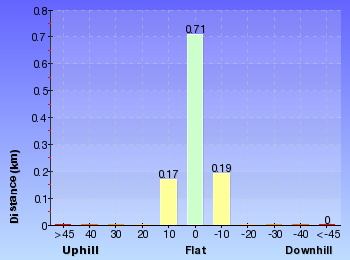
Gradient
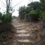
Around 560m of this walk has short steep hills, whilst the remaining 520m has gentle hills with occasional steps.
Quality of track
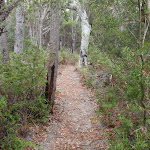
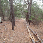
This whole walk, 1.1km follows a formed track, with some branches and other obstacles.
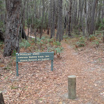
Signs
This whole walk, 1.1km has directional signs at most intersection.
Experience Required
This whole walk, 1.1km requires no previous bushwalking experience.
weather
This whole walk, 1.1km is not usually affected by severe weather events (that would unexpectedly impact safety and navigation).
Infrastructure
Around 630m of this walk has limited facilities (such as not all cliffs fenced), whilst the remaining 450m is close to useful facilities (such as fenced cliffs and seats).
Similar walks
702 m Return
20 mins
Hard track
Other Nearby walks
1.4 km Return
30 mins
Easy track
4.8 km Return
2 hrs
Hard track
360 m Return
15 mins
Hard track
1.1 km Return
30 mins
Moderate track
13.4 km One way
5 hrs
Hard track
9.3 km Return
3 hrs 30 mins
Hard track
30.9 km One way
2 Days
Hard track
30.9 km One way
3 Days
Hard track

18.3 km Return
7 hrs
Hard track
4.9 km Return
2 hrs
Hard track
582 m Return
15 mins
Very easy
764 m Return
20 mins
Very easy
Plan your trip to and from the walk here
The The Pinnacles Loop walk starts and ends at the Pinnacles car park (gps: -36.987944, 149.9233)Your main transport option to Pinnacles car park is by;
(get details)


Short URL = http://wild.tl/tpl
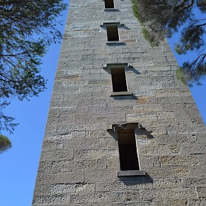
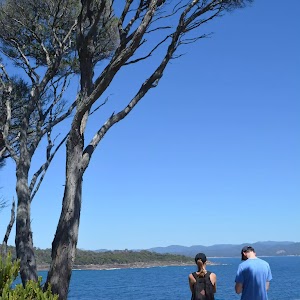
Gallery images
There are other downloads I am still working on.
You will probably need to login to access these — still all free.
* KML (google earth file)
* GPX (GPS file)
Special Maps/ brochures
* A3 topo maps
* PDF with Lands Topo map base
* PDF with arial image (and map overlay)
I wanted to get the main site live first, this extra stuff will come in time.
Happy walking
Matt 🙂
Comments