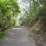
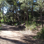
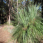
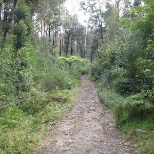
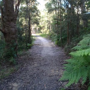
Bellamy fire trail


30 mins

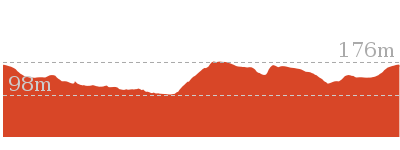
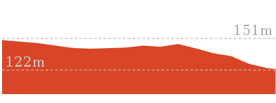
34 m
Moderate track


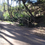


(0km) End of Bellamy St → Int of Bellamy trail and Morgan Rd tracks

90 m
2 mins
0m
-10m
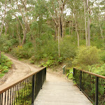
Easy track


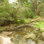
(0.09km) Int of Bellamy trail and Morgan Rd tracks → Zig Zag Creek Bridge int.
130 m
2 mins
0m
-6m
Easy track

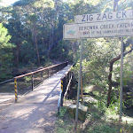
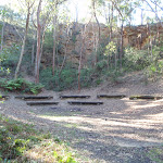
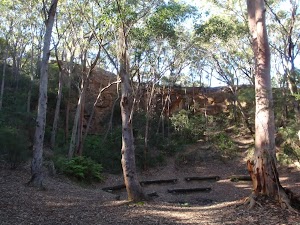
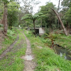
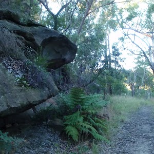
Thornleigh zigzag railway
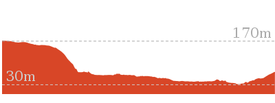
(0.22km) Zig Zag Creek Bridge int → Thornleigh Quarry
160 m
4 mins
15m
-8m
Moderate track


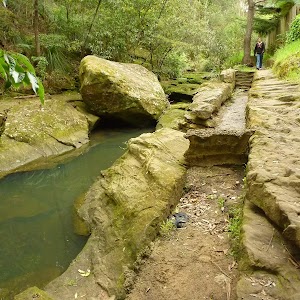
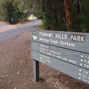
Old Thornleigh Quarry
(0.37km) Thornleigh Quarry → Int of Heritage Trail and De Saxe Cl trail
110 m
3 mins
11m
0m
Very easy
(0.48km) Int of Heritage Trail and De Saxe Cl trail → End of Timbarra Rd
140 m
3 mins
8m
-3m
Easy track

Maps for the Bellamy fire trail walk
You can download the PDF for this walk to print a map.These maps below cover the walk and the wider area around the walk, they are worth carrying for safety reasons.
| Hornsby | 1:25 000 Map Series | 91304S HORNSBY | NSW-91304S |
| Sydney | 1:100 000 Map Series | 9130 SYDNEY | 9130 |
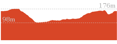
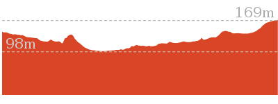
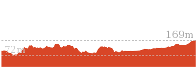
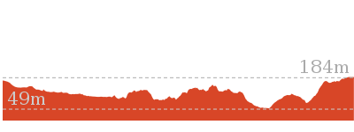
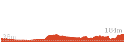
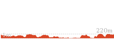
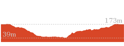
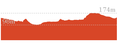
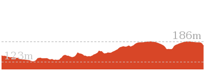
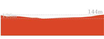
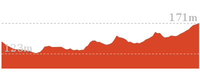
Cross sectional view of the Bellamy fire trail bushwalking track
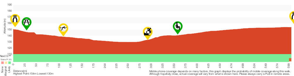
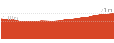
Analysis and summary of the altitude variation on the Bellamy fire trail
Accessibility summary information for the Bellamy fire trail
Toilets: There are 0 designated accessible toilets on this walk.
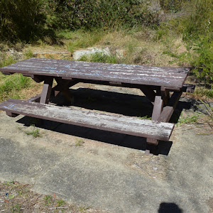
Seats: There are 2 places to sit on this walk. They are 350m apart.
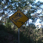
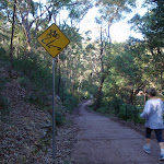
Hazards: There are 2 specific noteable accessability related hazards on this walk.
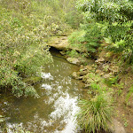
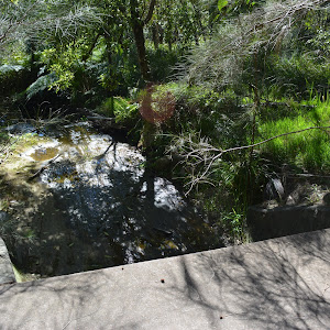
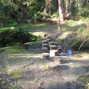
Trip Hazard Unfenced and unmarked edge with potential 80cm or higher fall into the creek. Keep clear of the culverts edge when crossing. Found about 110m into the walk.
Wheelchair Steep A 45m long section of concrete trail (3.3m wide) that is very steep. There is a metal handrail on one side for most of the steep section. If using a wheelchair assistance is very likely required. Found about 300m into the walk.
Accessibility Details


Overview of this walks grade – based on the AS 2156.1 – 2001
Under this standard, a walk is graded based on the most difficult section of the walk.
| Length | 619 m | ||
| Time | 30 mins | ||
| . | |||
| Grade 3/6 Moderate track |
AS 2156.1 | Gradient | Short steep hills (3/6) |
| Quality of track | Clear and well formed track or trail (2/6) | ||
| Signs | Clearly signposted (1/6) | ||
| Experience Required | No experience required (1/6) | ||
| Weather | Weather generally has little impact on safety (1/6) | ||
| Infrastructure | Generally useful facilities (such as fenced cliffs and seats) (1/6) |
Some more details of this walks Grading
Here is a bit more details explaining grading looking at sections of the walk
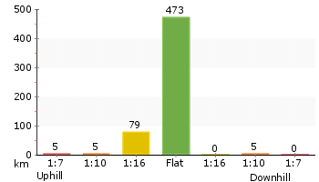
Gradient
250m of this walk is flat with no steps and another 220m has gentle hills with occasional steps. The remaining (160m) has short steep hills.
Quality of track
Around 480m of this walk follows a smooth and hardened path, whilst the remaining 140m follows a clear and well formed track or trail.
Signs
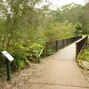
This whole walk, 620m is clearly signposted.
Experience Required
This whole walk, 620m requires no previous bushwalking experience.
weather
This whole walk, 620m is not usually affected by severe weather events (that would unexpectedly impact safety and navigation).
Infrastructure
This whole walk, 620m is close to useful facilities (such as fenced cliffs and seats).
Similar walks
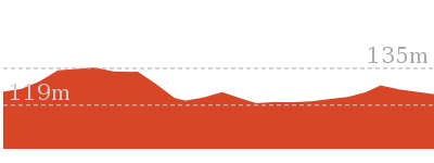
529 m One way
15 mins
Moderate track

4.2 km Circuit
1 hr 45 mins
Hard track

4.4 km One way
1 hr 45 mins
Moderate track
6.6 km Circuit
2 hrs 30 mins
Hard track
8.6 km One way
3 hrs 45 mins
Hard track
10.2 km One way
4 hrs
Hard track
15.5 km One way
6 hrs
Hard track
17.5 km One way
6 hrs 45 mins
Hard track

20.6 km One way
8 hrs
Hard track

25.8 km One way
2 Days
Hard track

28.1 km One way
2 Days
Hard track

35.9 km One way
2 Days
Hard track

44.4 km One way
3 Days
Hard track

Other Nearby walks
6.1 km One way
2 hrs 30 mins
Hard track
8.2 km Circuit
3 hrs
Hard track
2.5 km Return
1 hr 30 mins
Hard track
828 m Return
30 mins
Moderate track
717 m Circuit
20 mins
Very easy

5.1 km Circuit
2 hrs
Hard track
9 km One way
3 hrs 45 mins
Hard track
4.1 km One way
1 hr 45 mins
Moderate track
439 m Circuit
15 mins
Moderate track
2.2 km One way
1 Hr
Moderate track
515 m One way
15 mins
Moderate track
Plan your trip to and from the walk here
The Bellamy fire trail walk starts at the End of Bellamy St (gps: -33.728765, 151.06981)Your main transport option to End of Bellamy St is by;
(get details)
The Bellamy fire trail ends at the End of Timbarra Rd (gps: -33.724319, 151.07005)
Your main transport option to End of Timbarra Rd is by;
(get details)


Short URL = http://wild.tl/bft
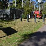
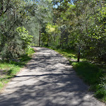
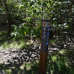
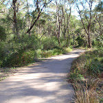
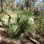
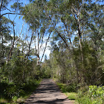
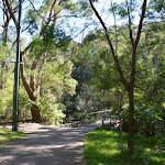
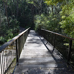
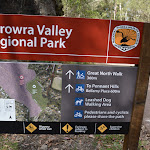
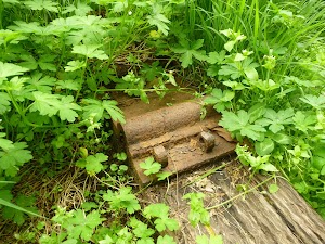
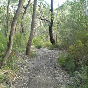
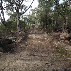
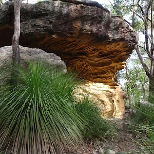
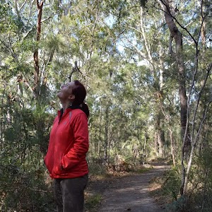
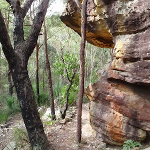
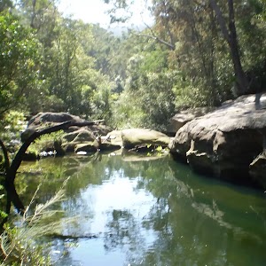
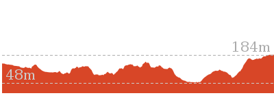
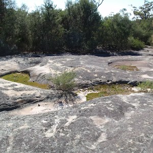
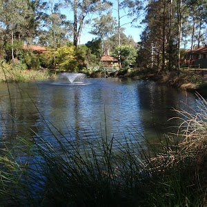
Gallery images
There are other downloads I am still working on.
You will probably need to login to access these — still all free.
* KML (google earth file)
* GPX (GPS file)
Special Maps/ brochures
* A3 topo maps
* PDF with Lands Topo map base
* PDF with arial image (and map overlay)
I wanted to get the main site live first, this extra stuff will come in time.
Happy walking
Matt 🙂
Comments