Woolwich Wharf to Boronia Park


2 hrs

175 m
Moderate track


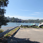


(0km) Woolwich Ferry Wharf, Valentia St → Goat Paddock

720 m
13 mins
23m
-6m
Very easy
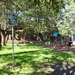
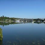
Goat Paddock

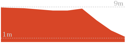
(0.72km) Goat Paddock → Woolwich Lookout
80 m
1 mins
1m
-2m
Easy track
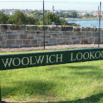
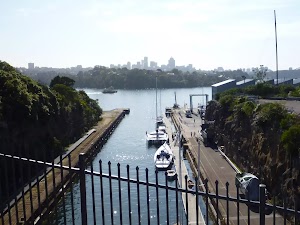
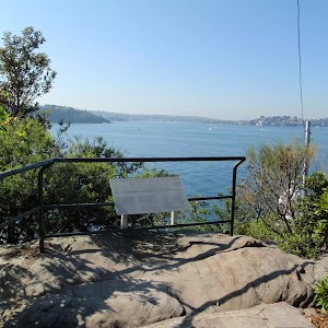
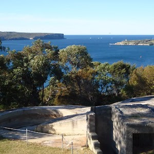
Woolwich Lookout
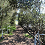
(0.8km) Woolwich Lookout → Bottom of Kellys Bush
360 m
7 mins
10m
-11m
Easy track
(1.16km) Bottom of Kellys Bush → Top of Kellys Bush
230 m
6 mins
25m
0m
Easy track
Kellys Bush
(1.39km) Top of Kellys Bush → End of Serpentine Rd
410 m
7 mins
5m
-14m
Very easy
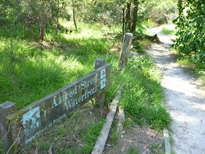
Turn left: From the intersection, this walk follows the GNW arrow west alongside Woolwich Rd[54] for about 100m, then turns right across the road[55] and heads to the end of Serpentine Rd[56]. There are some GNW arrows here and a footpath[57] on the left.
(1.8km) End of Serpentine Rd → Int of Brookes and Vernon Sts
420 m
10 mins
22m
-32m
Moderate track
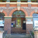
(2.22km) Int of Brookes and Vernon Sts → Hunters Hill Shops
1.2 km
22 mins
31m
-24m
Easy track
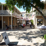
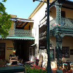
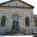
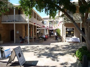
Hunters Hill Shops
(3.42km) Hunters Hill Shops → End of Mount St
770 m
15 mins
15m
-43m
Easy track
(4.2km) End of Mount St → Joubert Street Reserve
620 m
11 mins
17m
-2m
Easy track
(4.82km) Joubert Street Reserve → Boronia Park
930 m
17 mins
26m
-3m
Very easy
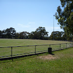
Boronia Park

Maps for the Woolwich Wharf to Boronia Park walk
You can download the PDF for this walk to print a map.These maps below cover the walk and the wider area around the walk, they are worth carrying for safety reasons.
| Parramatta River | 1:25 000 Map Series | 91303N PARRAMATTA RIVER | NSW-91303N |
| Sydney | 1:100 000 Map Series | 9130 SYDNEY | 9130 |
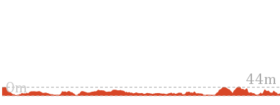
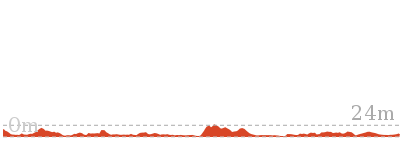
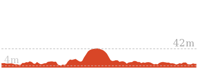
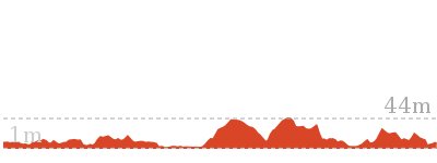
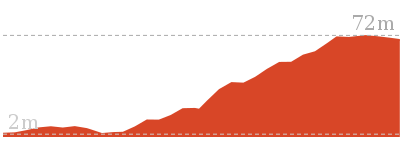
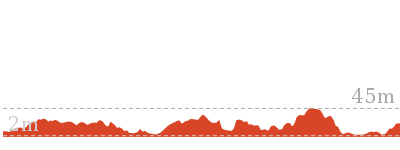
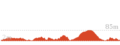
Cross sectional view of the Woolwich Wharf to Boronia Park bushwalking track
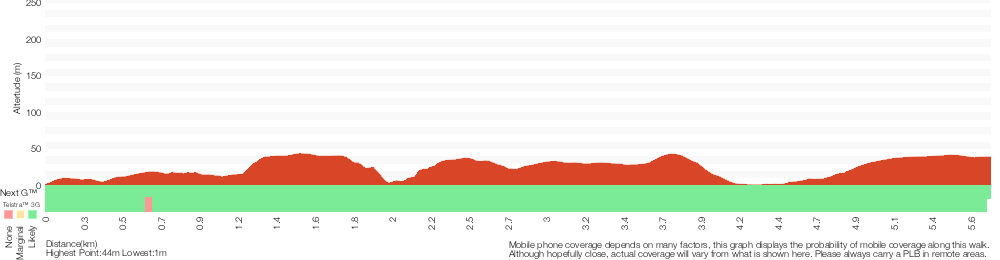
Analysis and summary of the altitude variation on the Woolwich Wharf to Boronia Park
Overview of this walks grade – based on the AS 2156.1 – 2001
Under this standard, a walk is graded based on the most difficult section of the walk.
| Length | 5.8 km | ||
| Time | 2 hrs | ||
| . | |||
| Grade 3/6 Moderate track |
AS 2156.1 | Gradient | Gentle hills with occasional steps (2/6) |
| Quality of track | Formed track, with some branches and other obstacles (3/6) | ||
| Signs | Directional signs along the way (3/6) | ||
| Experience Required | No experience required (1/6) | ||
| Weather | Weather generally has little impact on safety (1/6) | ||
| Infrastructure | Generally useful facilities (such as fenced cliffs and seats) (1/6) |
Some more details of this walks Grading
Here is a bit more details explaining grading looking at sections of the walk
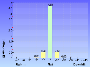
Gradient
Around 3.4km of this walk is flat with no steps, whilst the remaining 2.4km has gentle hills with occasional steps.
Quality of track
2.8km of this walk follows a smooth and hardened path and another 2.5km follows a clear and well formed track or trail. The remaining (420m) follows a formed track, with some branches and other obstacles.
Signs
Around 5km of this walk is clearly signposted, whilst the remaining 420m has directional signs at most intersection.
Experience Required
This whole walk, 6km requires no previous bushwalking experience.
weather
This whole walk, 6km is not usually affected by severe weather events (that would unexpectedly impact safety and navigation).
Infrastructure
This whole walk, 6km is close to useful facilities (such as fenced cliffs and seats).
Similar walks
6 km One way
2 hrs 30 mins
Moderate track

33 km One way
2 Days
Hard track


44.4 km One way
3 Days
Hard track

Other Nearby walks
9.8 km One way
4 hrs
Moderate track
5.5 km One way
2 hrs 30 mins
Moderate track
7.2 km One way
2 hrs 45 mins
Moderate track
2.7 km Circuit
1 hr 15 mins
Easy track
2 km One way
45 mins
Easy track
4.2 km One way
1 hr 45 mins
Moderate track
478 m Return
15 mins
Easy track
1.7 km Return
1 Hr
Moderate track
3.7 km One way
1 hr 45 mins
Moderate track
4.4 km One way
2 hrs
Moderate track
3 km Circuit
1 hr 30 mins
Moderate track
6.5 km Circuit
3 hrs 30 mins
Moderate track
Plan your trip to and from the walk here
The Woolwich Wharf to Boronia Park walk starts at the Woolwich Ferry Wharf, Valentia St (gps: -33.83856, 151.17607)Your transport options to Woolwich Ferry Wharf, Valentia St are by;
(get details)
The Woolwich Wharf to Boronia Park ends at the Boronia Park (gps: -33.827196, 151.13814)
Your transport options to Boronia Park are by;
(get details)


Short URL = http://wild.tl/wwtbp
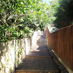
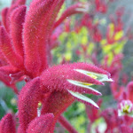
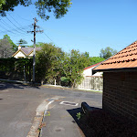
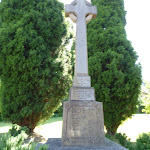
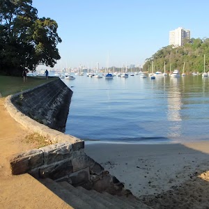
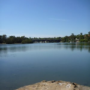
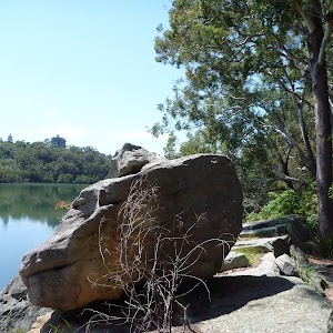
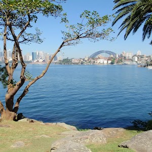
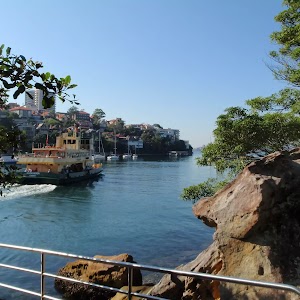
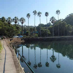
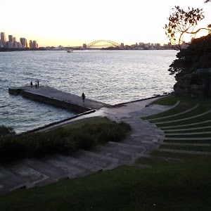
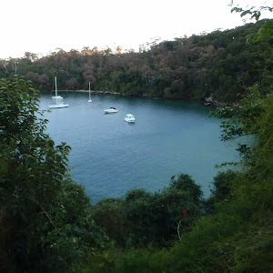
Gallery images
There are other downloads I am still working on.
You will probably need to login to access these — still all free.
* KML (google earth file)
* GPX (GPS file)
Special Maps/ brochures
* A3 topo maps
* PDF with Lands Topo map base
* PDF with arial image (and map overlay)
I wanted to get the main site live first, this extra stuff will come in time.
Happy walking
Matt 🙂
Comments