Wurrumbungle National Park
And Walk
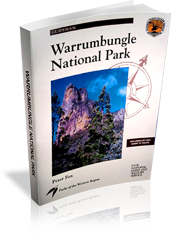
Title: Wurrumbungle National Park
Author: Peter Fox
Edition: 1
Publisher: The Beaten Track Press
ISBN: 1876131004
Number of pages: 80
Year of Publication: 1996
Cover Price (au$): 11.00
Format: Paperback
Website: http://www.beatentrack.com.au/btgroup/btg_frame.cfm?topic=catalogue&product=catalogue
Weight (grams): 225
Regions the book covers: Warrumbungle National Park
Height (cm): 25
Subjects:
National parks and reserves - New South Wales,Warrumbungle National Park (N.S.W.), Physical geography - New South Wales - Warrumbungle Range
Interpretive Information: Detailed
Grade system explained: No
Date walks last reviewed provided: No
A summary of walks provided: Yes
Regional Map of walks provided: Yes
Maps designed for walking: Yes - limited detail
Type of maps used (for walking): Simple Topographic
Colour used in walking maps: Multicolour
Size of walking maps: Full page
Walking map Comment: Lift out walking information including maps an extra 28 page booklet. Maps are aerial photographs with tracks and other features marked.
Colour depth of photos: Colour
Level of detail in tracknotes: Detailed route information
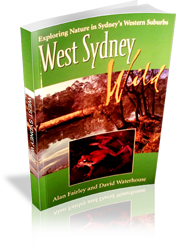
Title: West Sydney Wild : exploring nature in Sydney's western suburbs
Author: Alan Fairley,David Waterhouse
Edition: 1
Publisher: Rosenberg Publishing
ISBN: 1877058386
Number of pages: 179
Year of Publication: 2005
Cover Price (au$): 9.95
Format: Paperback
Website: http://www.rosenbergpub.com.au/browseProduct.asp?id=2
Weight (grams): 275
Regions the book covers: Western Sydney
Height (cm): 23
Subjects:
National parks and reserves - New South Wales - Western Sydney - Guidebooks,Natural areas - New South Wales - Western Sydney - Guidebooks,Western Sydney (N.S.W.) - Guidebooks,Western Sydney (N.S.W.) - Description and travel
Overview of Book:
This book is a fairly comprehensive guide to Western Sydney's National Parks and reserves. Parks are described in great detail, with a focus on flora and fauna. The book is not primarily a walking guidebook, and there is a small amount of information on a limited number of walks in some parks.
Niche: Detailed information on Reserves and National Parks in Western Sydney, with indications to walks
Interpretive Information: Detailed
Ascent and/or Decent provided: No
Driving directions provided: Yes
Date walks last reviewed provided: No
A summary of walks provided: No
Regional Map of walks provided: No
Maps designed for walking: Yes - limited detail
Type of maps used (for walking): Sketch
Colour used in walking maps: Black and White
Size of walking maps: Half page
Colour depth of photos: Colour
Comment on Photographs: Many photographs, mainly of plants and animals
Level of detail in tracknotes: General route description
Alternate route and side trip suggestions: None
Title: Walks near Bundanoon in Morton National Park
Author: NSW National Parks and Wildlife Service
Edition: 1
Publisher: NSW National Parks and Wildlife Service
ISBN: 0731360338
Number of pages: 9
Year of Publication: 1999
Format: Paperback
Website: http://www.environment.nsw.gov.au/nationalparks/
Weight (grams): 25
Regions the book covers: Morton National Park
Height (cm): 21
Subjects:
National parks and reserves - New South Wales - Bundanoon Region - Guidebooks,Trails - New South Wales - Bundanoon Region - Guidebooks,Bundanoon (N.S.W.) - Guidebooks,Morton National Park (N.S.W.) - Guidebooks
Interpretive Information: Some
Grade system explained: No
Ascent and/or Decent provided: No
Driving directions provided: No
Date walks last reviewed provided: No
A summary of walks provided: No
Regional Map of walks provided: Yes
Maps designed for walking: Yes - limited detail
Type of maps used (for walking): Sketch
Colour used in walking maps: Greyscale
Size of walking maps: Full page
Walking map Comment: One aerial photograph with tracks drawn over it.
Colour depth of photos: Black and White
Comment on Photographs: One aerial photograph, with track lines drawn on it.
Level of detail in tracknotes: Detailed route information
Alternate route and side trip suggestions: None
Title: Walks in the Blue Mountains National Park
Author: Neil Paton
Edition: 1
Publisher: Kangaroo Press
ISBN: 0864171293
Number of pages: 128
Year of Publication: 1987
Cover Price (au$): 10.95
Format: Paperback
Weight (grams): 145
Regions the book covers: Blue Mountains
Height (cm): 19
Subjects:
Nature trails - New South Wales - Blue Mountains National Park - Guidebooks,Hiking - New South Wales - Blue Mountains National Park - Guidebooks,Blue Mountains National Park (N.S.W.) - Guidebooks
Niche: Blue Mountains
Interpretive Information: Minimal
Grade system explained: No
Ascent and/or Decent provided: No
Driving directions provided: No
Date walks last reviewed provided: No
A summary of walks provided: No
Regional Map of walks provided: Yes
Maps designed for walking: Yes - limited detail
Type of maps used (for walking): Sketch
Colour used in walking maps: Black and White
Size of walking maps: 3/4 page
Walking map Comment: Most maps are shared by at least a few walks
Colour depth of photos: Black and White
Comment on Photographs: One photograph every three pages (on average)
Level of detail in tracknotes: Detailed route information
Alternate route and side trip suggestions: Many walks
Walking Tracks in the Grose Valley
And Walk
Title: Walking Tracks in the Grose Valley
Author: Stephen Alton
Edition: 1
Publisher: NSW National Parks and Wildlife Service
ISBN: 0731360885
Number of pages: 24
Year of Publication: 2004
Cover Price (au$): 6.00
Format: Paperback
Website: http://www.environment.nsw.gov.au/nationalparks/
Weight (grams): 50
Regions the book covers: Grose Valley
Height (cm): 21
Subjects:
Hiking - New South Wales - Blue Mountains Region - Guidebooks
Interpretive Information: Plenty
Grade system explained: No
Ascent and/or Decent provided: No
Driving directions provided: Yes
Date walks last reviewed provided: No
A summary of walks provided: No
Regional Map of walks provided: Yes
Maps designed for walking: Yes - limited detail
Type of maps used (for walking): Sketch
Colour used in walking maps: Greyscale
Size of walking maps: Full page
Walking map Comment: One map shared by many walks. Additional maps required for all walks.
Colour depth of photos: None
Comment on Photographs: Pictograms of flora and fauna.
Level of detail in tracknotes: General route description
Title: Treks in New South Wales : Ten Long Walks in National Parks
Author: Neil Paton
Edition: 1
Publisher: Kangaroo Press
ISBN: 0864170793
Number of pages: 95
Year of Publication: 1986
Cover Price (au$): 12.95
Format: Paperback
Weight (grams): 95
Regions the book covers: New South Wales
Height (cm): 20
Subjects:
Backpacking - New South Wales,Walking - New South Wales,National parks and reserves - New South Wales - Guidebooks,New South Wales - Guide-books
Niche: Long walks
Interpretive Information: Minimal
Grade system explained: No
Ascent and/or Decent provided: No
Driving directions provided: Yes
Date walks last reviewed provided: No
A summary of walks provided: No
Regional Map of walks provided: No
Maps designed for walking: Yes - limited detail
Type of maps used (for walking): Sketch
Colour used in walking maps: Black and White
Size of walking maps: Full page
Walking map Comment: Book explicitly states that maps are a rough guide only, and listed topographic maps are required.
Colour depth of photos: Black and White
Comment on Photographs: Two or three photographs per walk.
Level of detail in tracknotes: Detailed route information
Alternate route and side trip suggestions: Many walks
Title: Tracking through the South East Forests of New South Wales : touring guide
Author: Cath Renwick
Edition: 1
Publisher: The Beaten Track Press
ISBN: 1876131063
Number of pages: 65
Year of Publication: 2004
Cover Price (au$): 14.95
Format: Paperback
Website: http://www.environment.nsw.gov.au/nationalparks/
Weight (grams): 200
Regions the book covers: South coast NSW
Height (cm): 24
Subjects:
National parks - New South Wales - Guidebooks,Forests and forestry - Environmental aspects - New South Wales - Guidebooks
Overview of Book:
This book is primarily an interpretive guide to the South East NSW National Parks. There is a chapter devoted to 'Enjoying the forests', with details on driving tours, bushwalks and campsites.
Interpretive Information: Detailed
Grade system explained: No
Ascent and/or Decent provided: No
Driving directions provided: No
Date walks last reviewed provided: No
A summary of walks provided: Yes
Regional Map of walks provided: Yes
Maps designed for walking: No - no maps intended for use when walking
Walking map Comment: Regional driving maps provided in full colour, however no walking maps provided.
Colour depth of photos: Colour
Comment on Photographs: Glossy photographs throughout the book.
Level of detail in tracknotes: Overview only
Alternate route and side trip suggestions: None
The Six Foot Track
And Walk
Title: The Six Foot Track
Download Sample: emag.bushwalk.com/6ft%20sample.pdf
Author: Matt McClelland
Edition: 1
Publisher: Woodslane
ISBN: 9781922131249
Number of pages: 124
Year of Publication: 2013
Cover Price (au$): 19.95
Format: Paperback
Website: http://www.wildwalks.com/
Weight (grams): 240
Regions the book covers: Blue Mountains
Height (cm): 22
Overview of Book:
The Six Foot Track is one of Australia’s classic long-distance walks. Set in the World-heritage listed Blue Mountains region, experience the challenge of this 44-kilometre long trek as you journey down dramatic escarpments, across wide rivers and through remote bushland. This book uses a delightfully quirky and original format. The first half of the book presents walk directions running from Katoomba to Jenolan Caves. Turn the book upside down, and you can read walk directions running from Jenolan Caves to Katoomba. Navigation and trip planning are made easy with full-colour maps and detailed walk statistics, including distance, total ascent and descent, walk grades and estimated times. The Six Foot Track also includes lots of information about the flora and fauna of the area, as well as local history and points of interest. Read about the construction of the suspension bridge over the Coxs River, find out about activities around Jenolan Caves or discover the story of the people who built this track more than 100 years ago. Full-colour photos highlight key attractions along the way. The Six Foot Track can be done in a blitz as a marathon run in a single day, as a challenging two-day hike, or as a more relaxed three-day walk. This book outlines the logistics of all three of these options, including details about accommodation along the way, public transport at either end of the way, and what you’ll need to take with you to ensure a safe and comfortable adventure.
Interpretive Information: Plenty
Grade system explained: Yes
Ascent and/or Decent provided: Yes
Driving directions provided: Yes
A summary of walks provided: Yes
Regional Map of walks provided: Yes
Maps designed for walking: Yes - reasonable detail
Type of maps used (for walking): Detailed Topographic
Colour used in walking maps: Multicolour
Size of walking maps: Half page
Colour depth of photos: Colour
Level of detail in tracknotes: Detailed route information
Alternate route and side trip suggestions: Some walks
The Great North Walk
And Walk
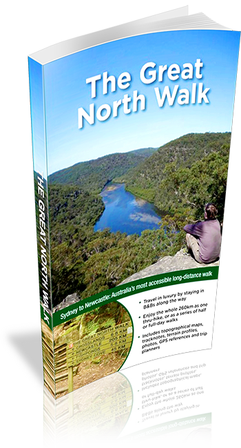
Title: The Great North Walk
Download Sample: Download PDF
Author: Matt McClelland
Edition: 1
Publisher: Woodslane
ISBN: 9781921683121
Number of pages: 232
Year of Publication: 2012
Cover Price (au$): 30
Format: Paperback
Website: http://www.wildwalks.com/
Weight (grams): 440
Regions the book covers: Sydney, Central Coast, Newcastle
Height (cm): 22
Subjects:
Hiking - New South Wales - Great North Walk - Guidebooks, Walking - New South Wales - Guidebooks
Niche: Thru hiking, inn-to-inn hiking, day walks
Interpretive Information: Plenty
Grade system explained: Yes
Ascent and/or Decent provided: Yes
Driving directions provided: Yes
Date walks last reviewed provided: Yes
A summary of walks provided: Yes
Regional Map of walks provided: Yes
Maps designed for walking: Yes - limited detail
Type of maps used (for walking): Detailed Topographic
Colour used in walking maps: Multicolour
Size of walking maps: 3/4 page
Walking map Comment: scale varies on each map
Colour depth of photos: Colour
Level of detail in tracknotes: Detailed route information
Alternate route and side trip suggestions: Many walks
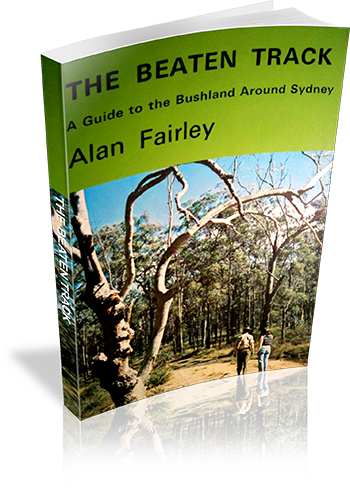
Title: The Beaten Track : A Guide to the Bushland Around Sydney
Author: Alan Fairley
Edition: 1
Publisher: Alan Fairley
ISBN: 0959903208
Number of pages: 106
Year of Publication: 1972
Format: Paperback
Weight (grams): 165
Regions the book covers: Sydney, Blue Mountains, Southern Highlands
Height (cm): 21
Subjects:
Hiking - New South Wales - Sydney region,Sydney Region (N.S.W.) - Guidebooks
Interpretive Information: Plenty
Grade system explained: No
Ascent and/or Decent provided: No
Driving directions provided: Yes
Date walks last reviewed provided: No
A summary of walks provided: No
Regional Map of walks provided: No
Maps designed for walking: Yes - limited detail
Type of maps used (for walking): Sketch
Colour used in walking maps: Black and White
Size of walking maps: Full page
Colour depth of photos: Black and White
Comment on Photographs: There are a number of regional photographs throughout the book, and pictographs of wildflowers.
Level of detail in tracknotes: General route description